,regionOfInterest=(2732,1820))
,regionOfInterest=(2732,1820))
Altos de Chavón: a village with a Mediterranean feel in the heart of the Dominican Caribbean
,regionOfInterest=(2100,1400))
,regionOfInterest=(2100,1400))
Culture
,regionOfInterest=(1927.5,1285))
,regionOfInterest=(1927.5,1285))
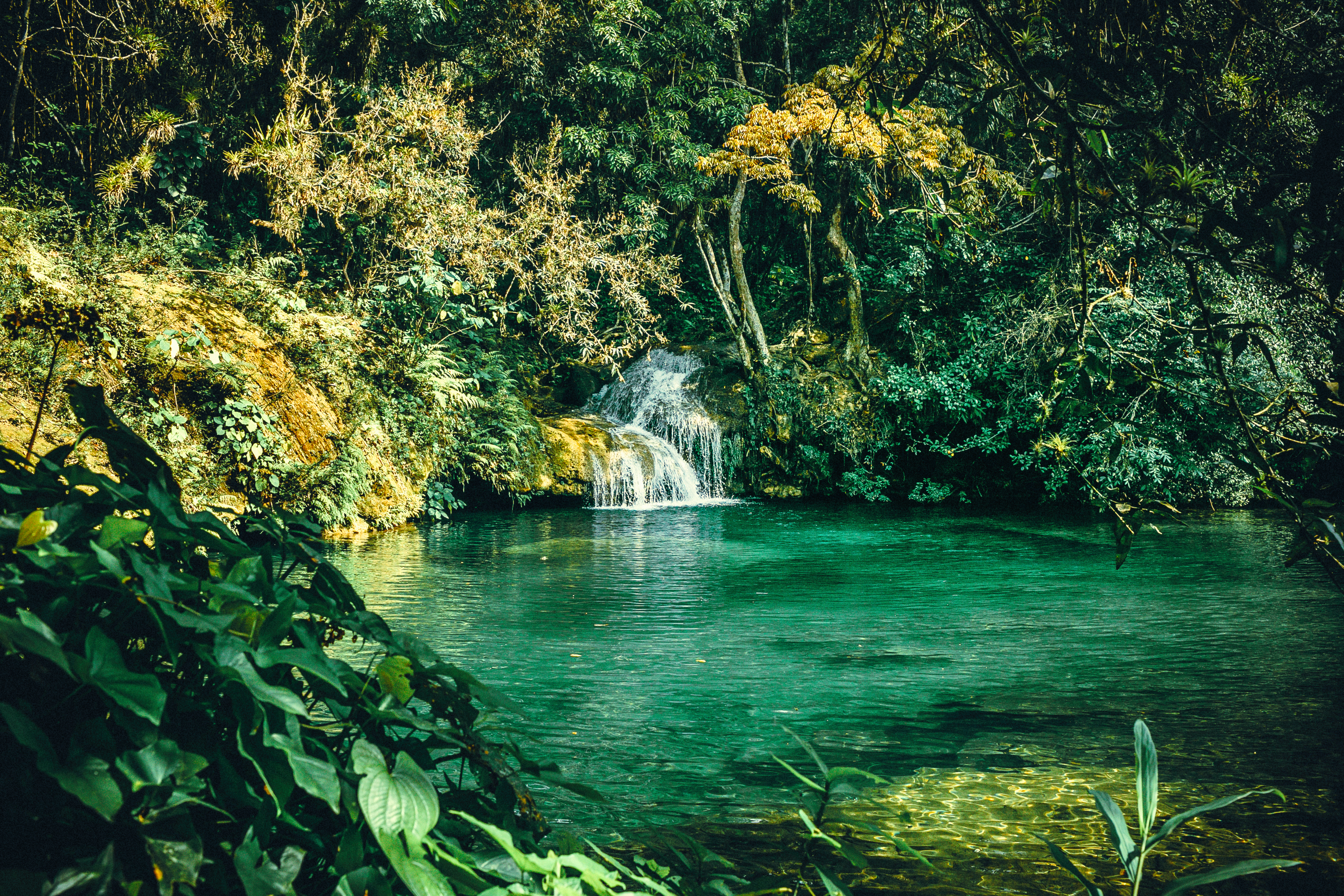
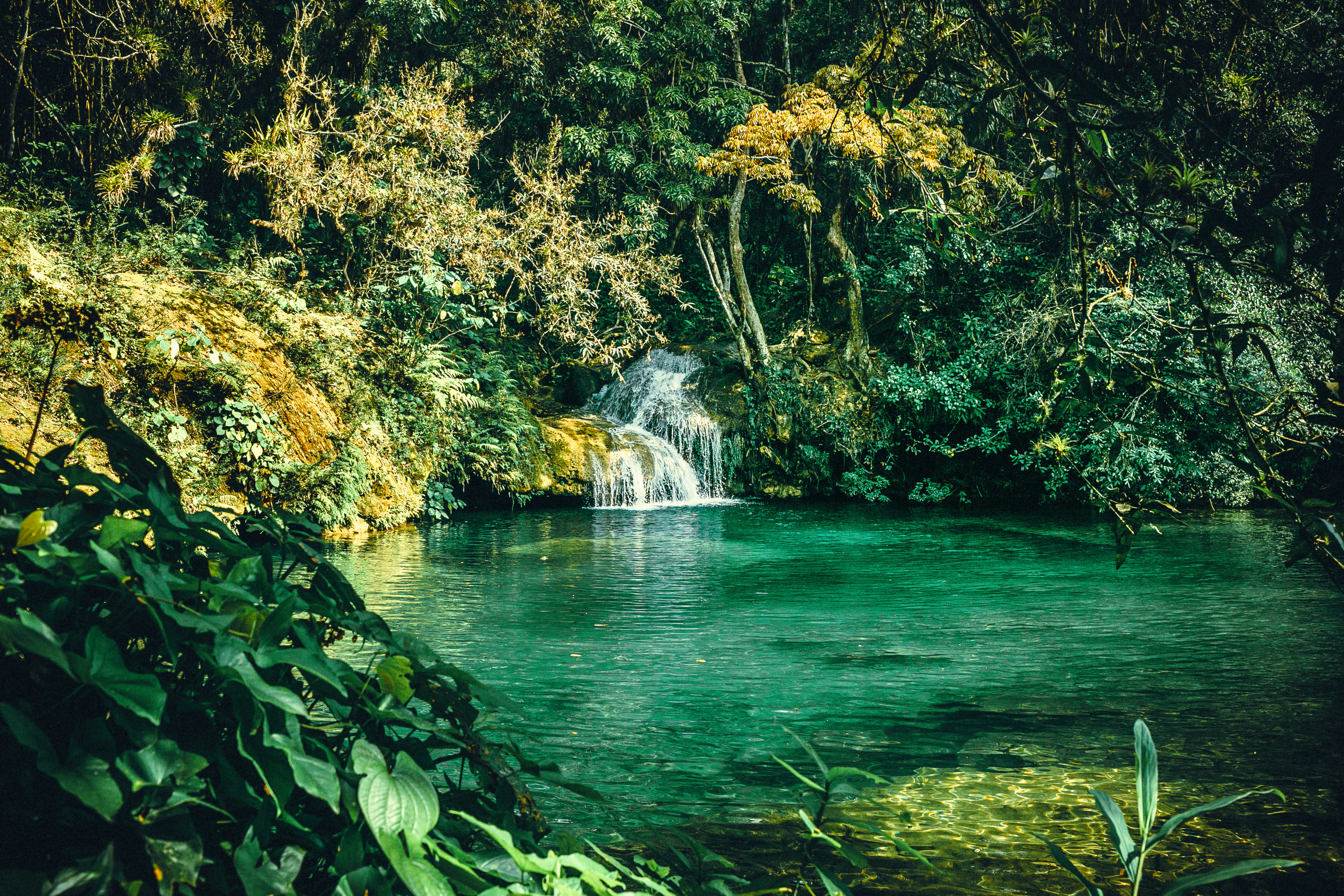
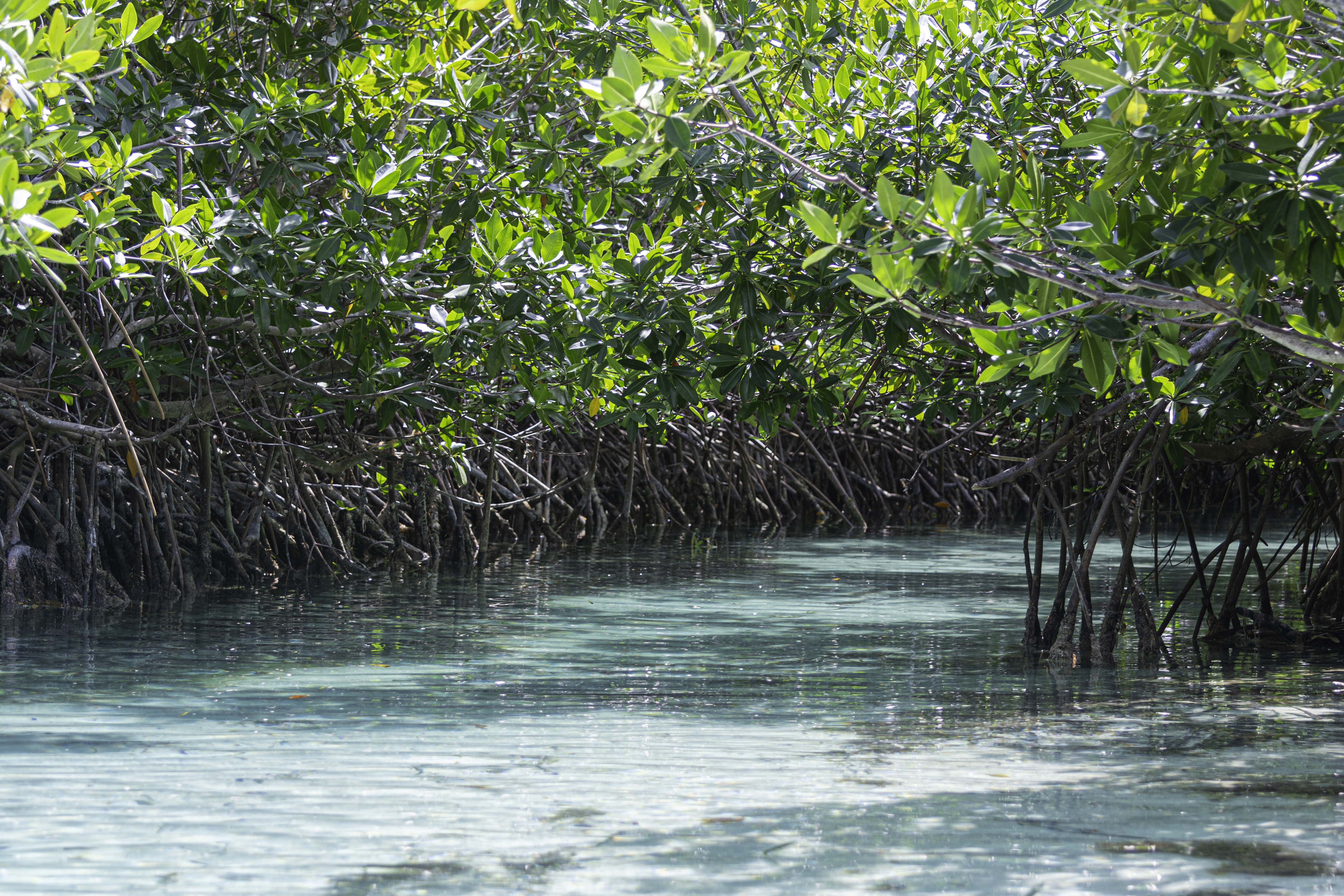
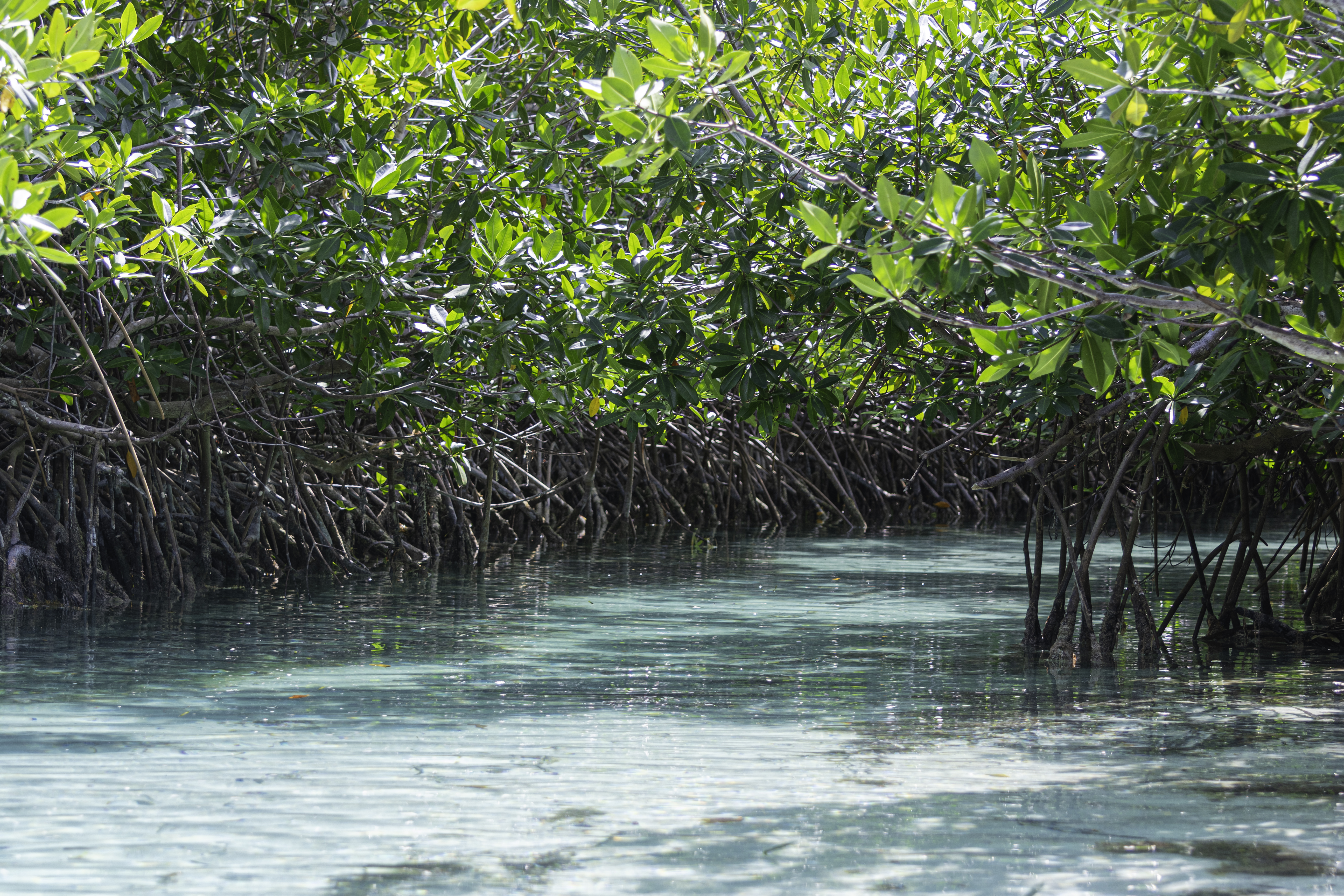
Los Haitises National Park is one of those places that is hard to believe exists until you have it right before your eyes. It is a mosaic of jungle-covered limestone islets that emerge directly from the sea, hidden caves with rock art, and kilometres of mangroves where dozens of exotic birds live.
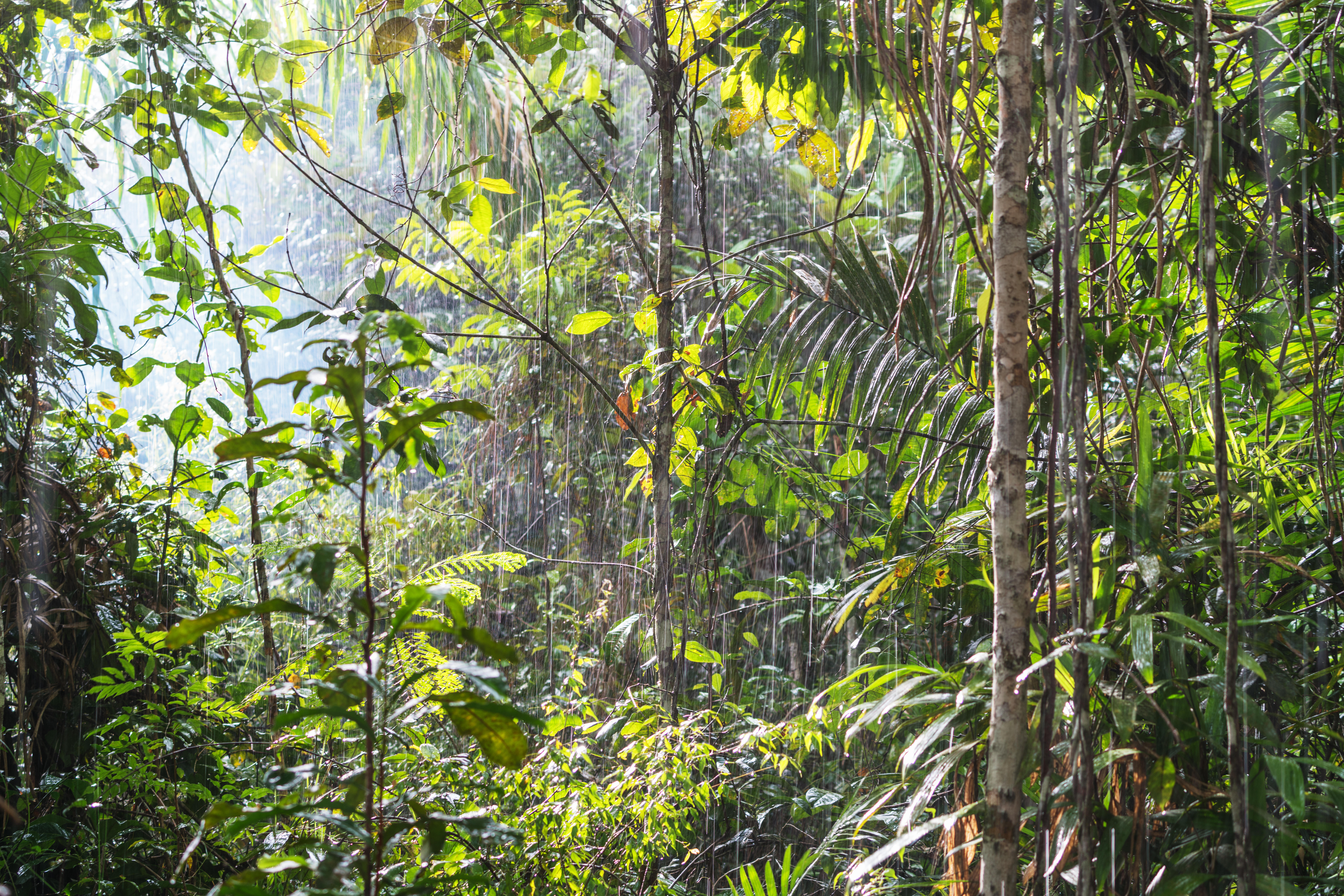
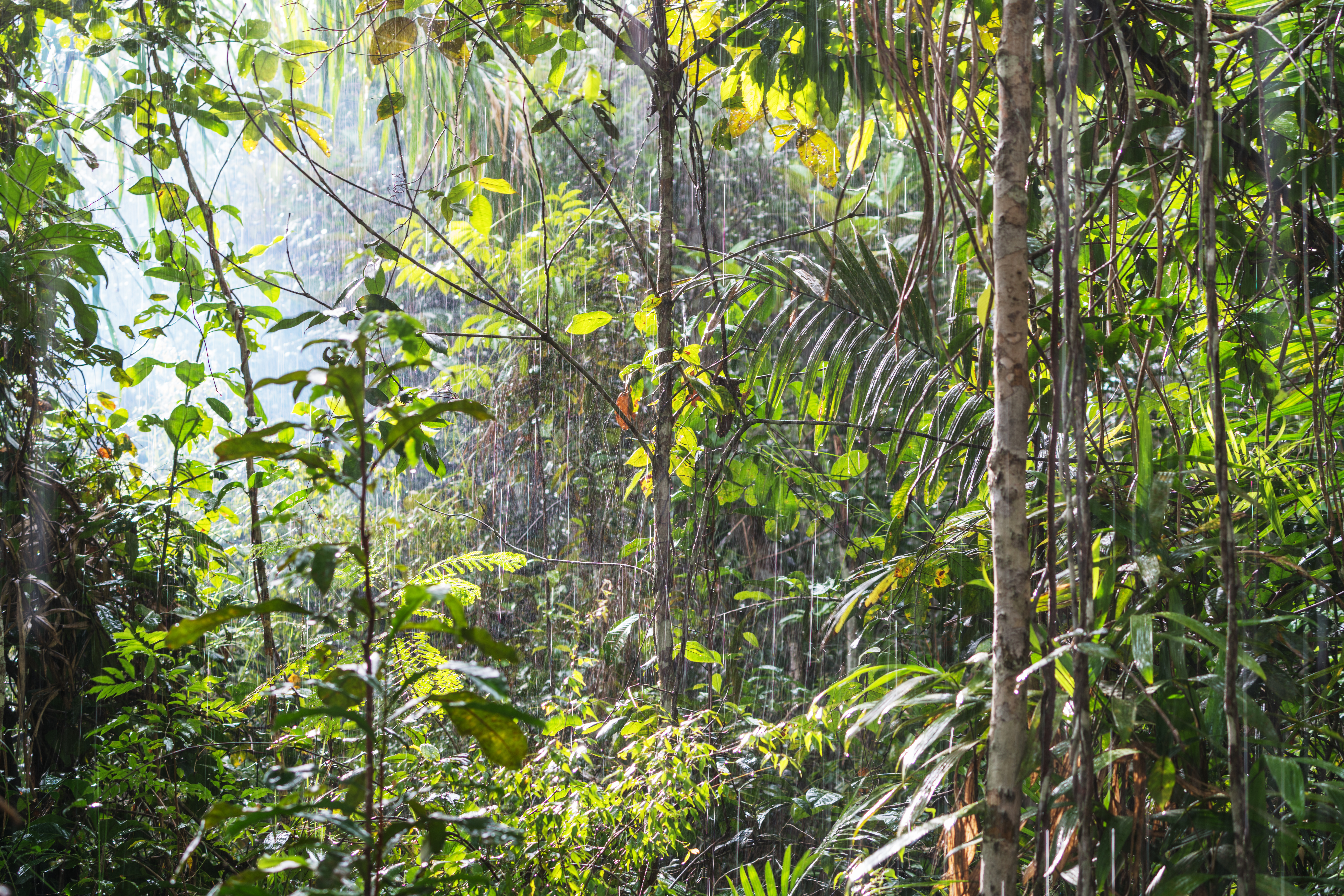
A landscape that completely breaks with the most well-known image of the Dominican Republic: in Los Haitises, the spotlight is not on the white sand beaches, but on the karst formations, mangrove channels, caves, and lush vegetation that covers a large part of the territory.
Declared a national park in 1976 by Law 409-76, Los Haitises has become one of the most prominent protected natural spaces in the Dominican Republic, with an ecosystem that combines rainforest, extensive mangrove areas, and some of the most characteristic karst formations in the Antilles.
When you ask yourself what to do in Los Haitises National Park, you will find various activities linked to its unique landscape, from boat trips through the channels and mangroves to visiting caves with rock art and observing the park's wildlife. Birdwatching is also one of its great attractions, with species such as the Ridgway's hawk, the Hispaniolan woodpecker, pelicans, herons, and egrets.
Culture
,regionOfInterest=(500,500))
,regionOfInterest=(500,500))
All-terrain writer specialising in tourism, fashion and trends. A curious soul, traveller, reader and sports enthusiast, keen to discover every corner of the world.
,regionOfInterest=(2784,1856))
,regionOfInterest=(2784,1856))
,regionOfInterest=(3976,2652))
,regionOfInterest=(3976,2652))
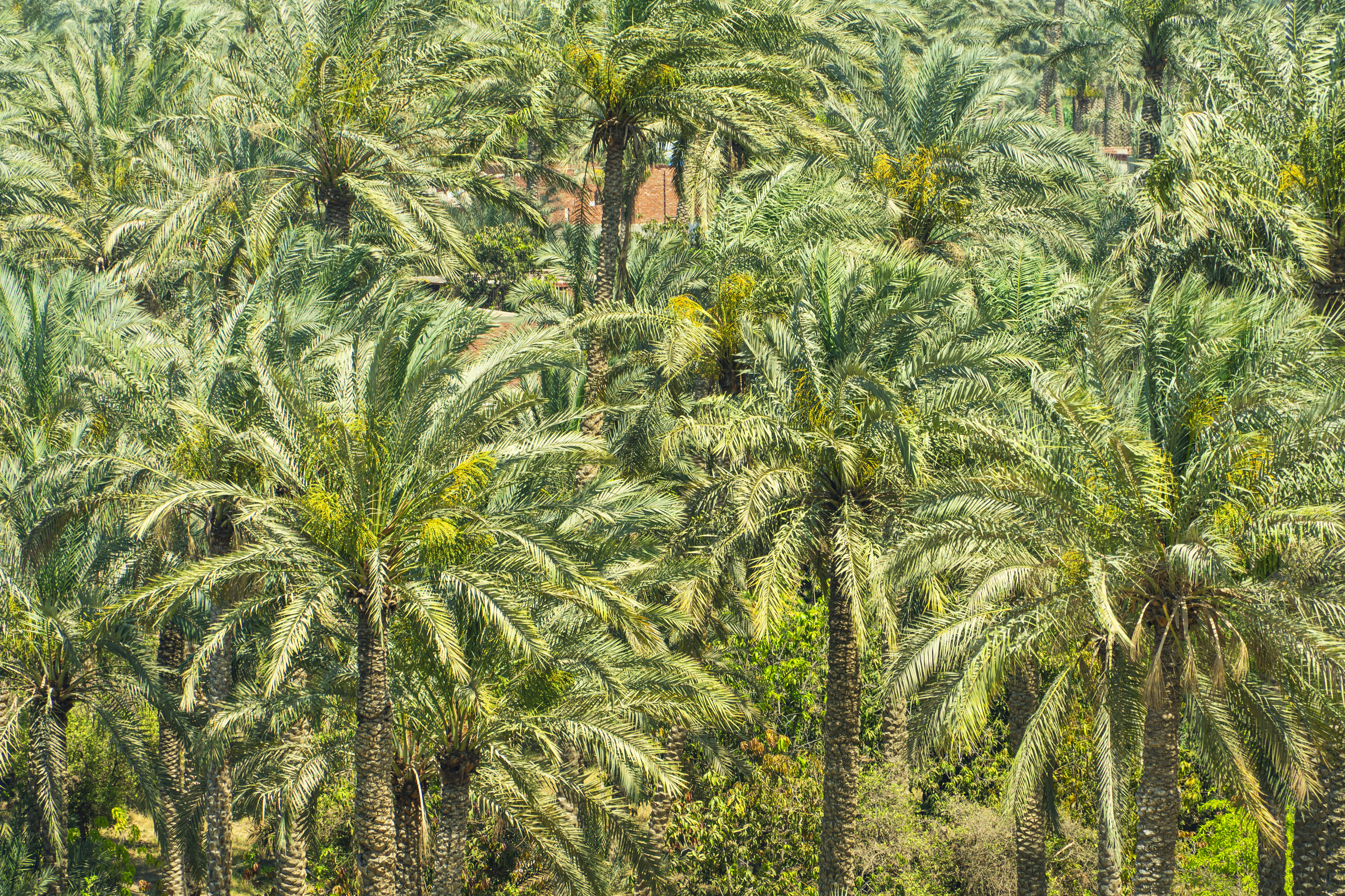,regionOfInterest=(2777.5,1851.5))
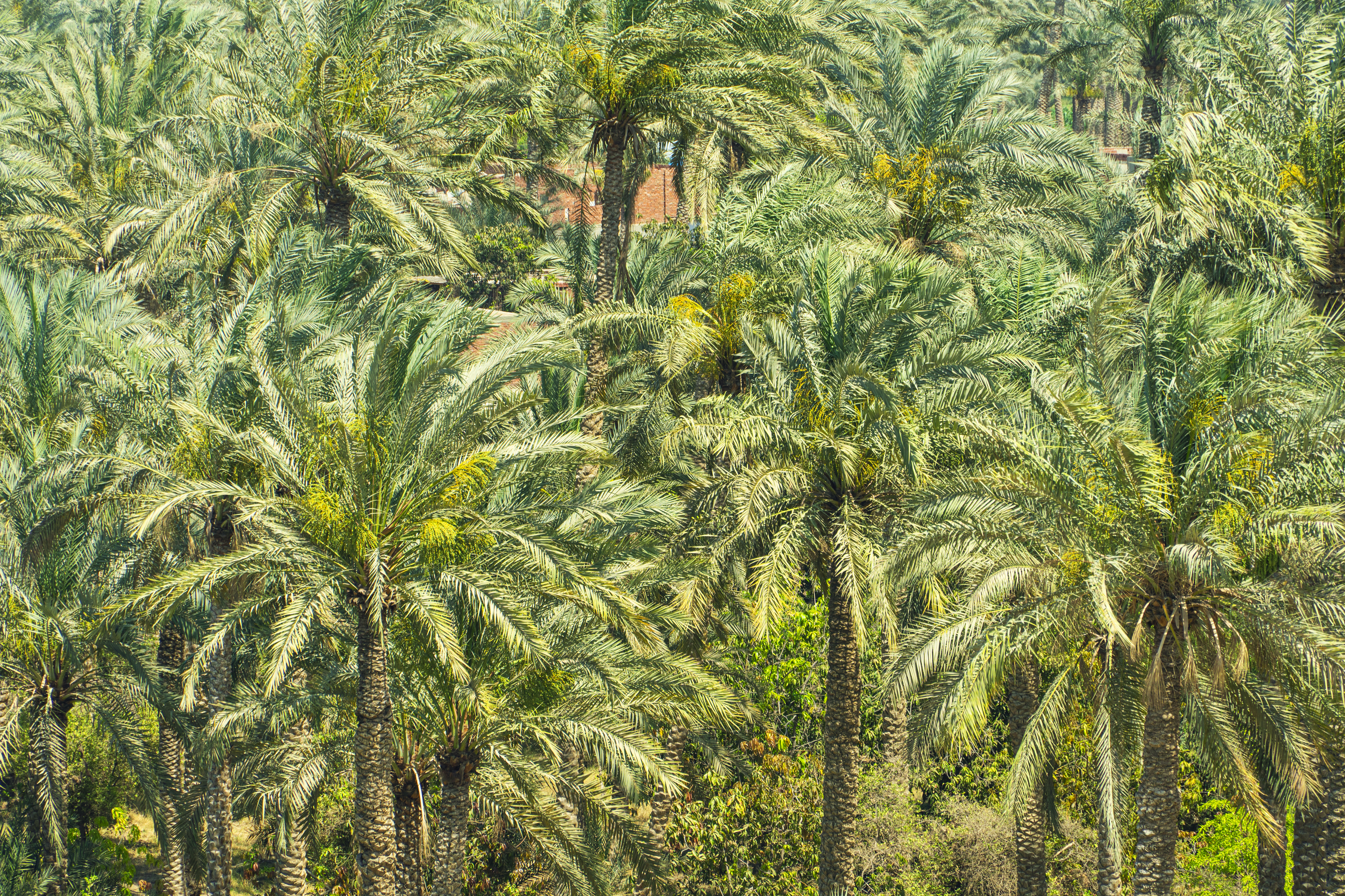,regionOfInterest=(2777.5,1851.5))
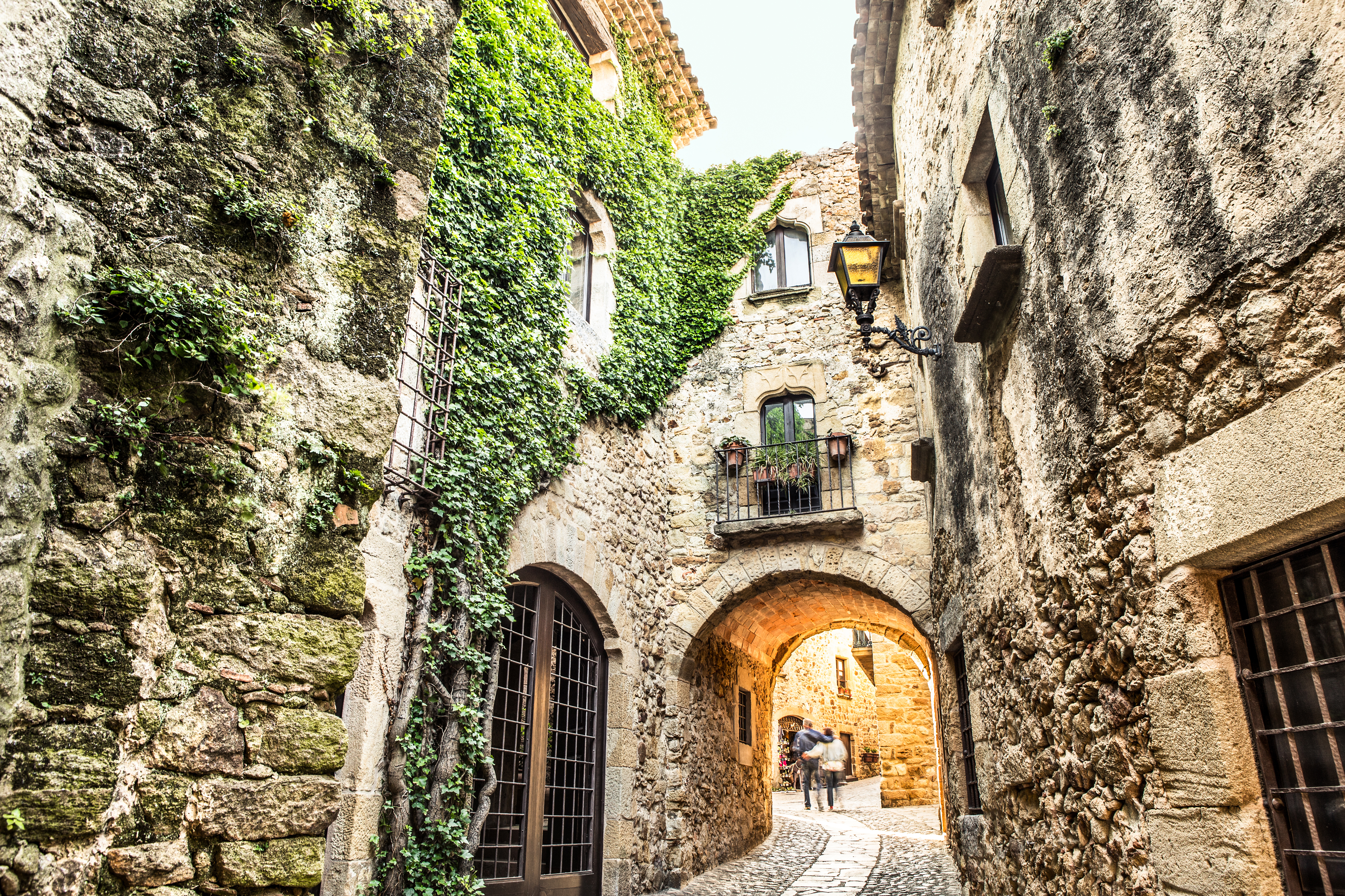
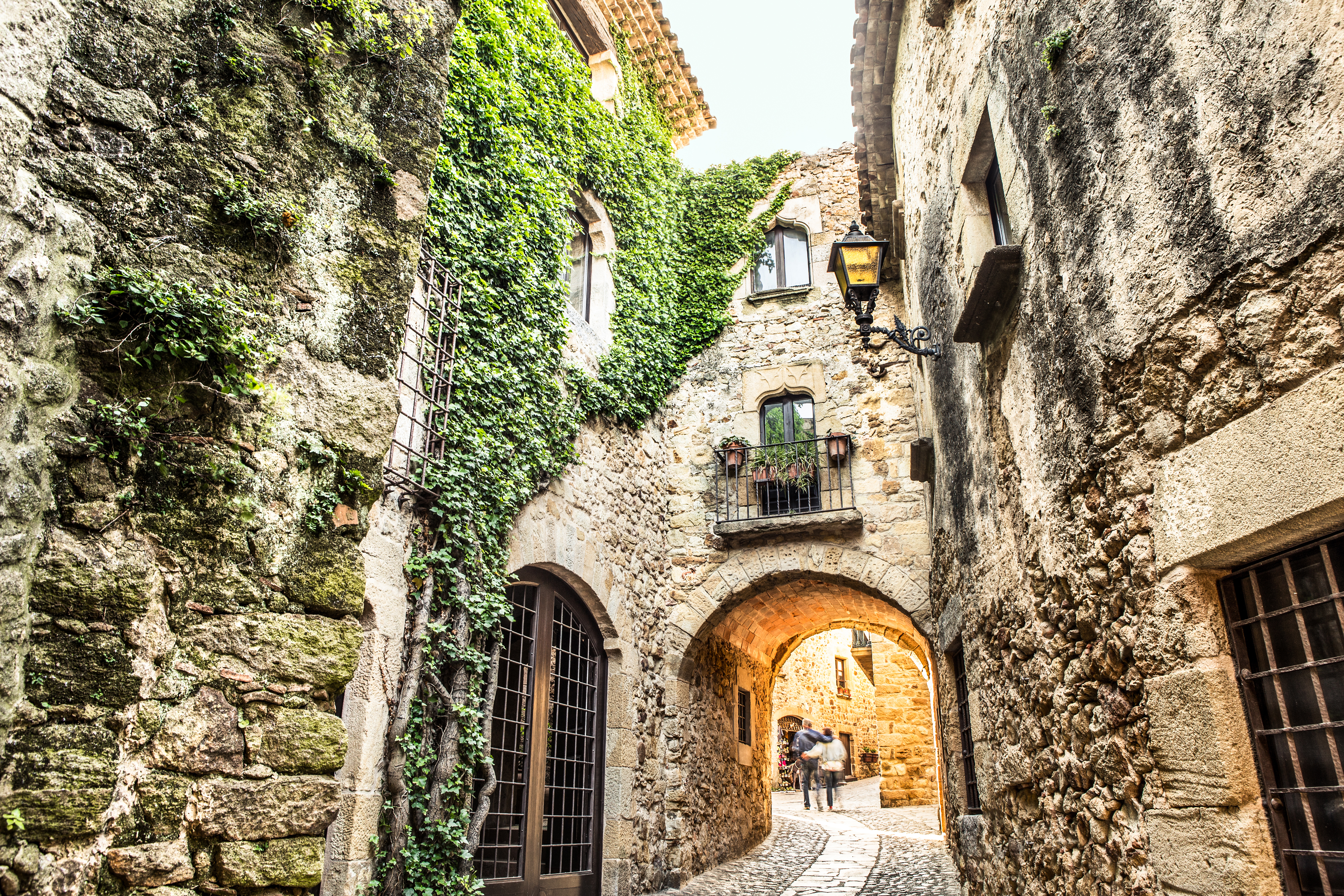
The first thing to say is that every detail of the architectural complex of Altos de Chavón is carefully thought out, with coral stone, exposed brick, and wooden balconies that faithfully reproduce the style of a Mediterranean village from five centuries ago, although it was actually completed in 1982.
This protected space brings together one of the most striking examples of karst landscape in the Dominican Republic. Los Haitises National Park currently covers around 600 km² and extends across several provinces in the northeast of the country, including Hato Mayor, Monte Plata, and Samaná, in the surroundings of Samaná Bay.
Its most recognisable element is the so-called mogotes, limestone hills covered in vegetation that rise above the landscape and, in some sectors, emerge directly from the waters of the bay. These karst formations, characteristic of Los Haitises, create the unique landscape of green islets that has become one of the most recognisable images of the park.
Beneath these formations lies a vast network of caves and cavities, many of them with pictographs and petroglyphs associated with the Taíno population, as well as other archaeological remains. The rock art heritage makes Los Haitises a space of great cultural and archaeological, as well as natural, value.
The combination of mangroves, rainforest, and limestone formations gives rise to exceptional biodiversity. Pelicans, herons, egrets, frigatebirds, and other bird species find a particularly valuable habitat here. Among the species highlighted by official sources is the Ridgway's hawk, a threatened species, as well as different birds native to the forest and coastal ecosystems of Hispaniola.
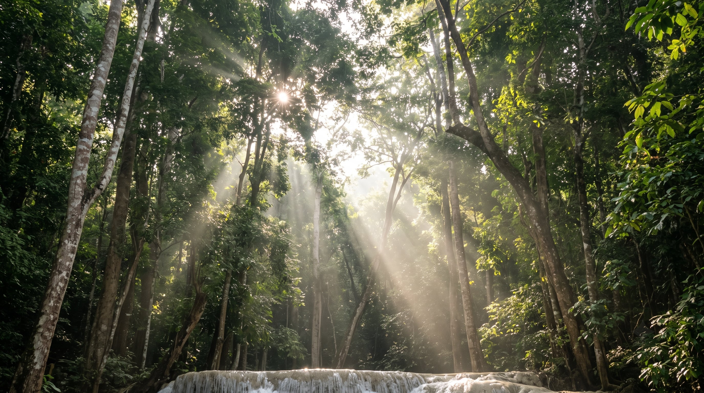,regionOfInterest=(1376,768))
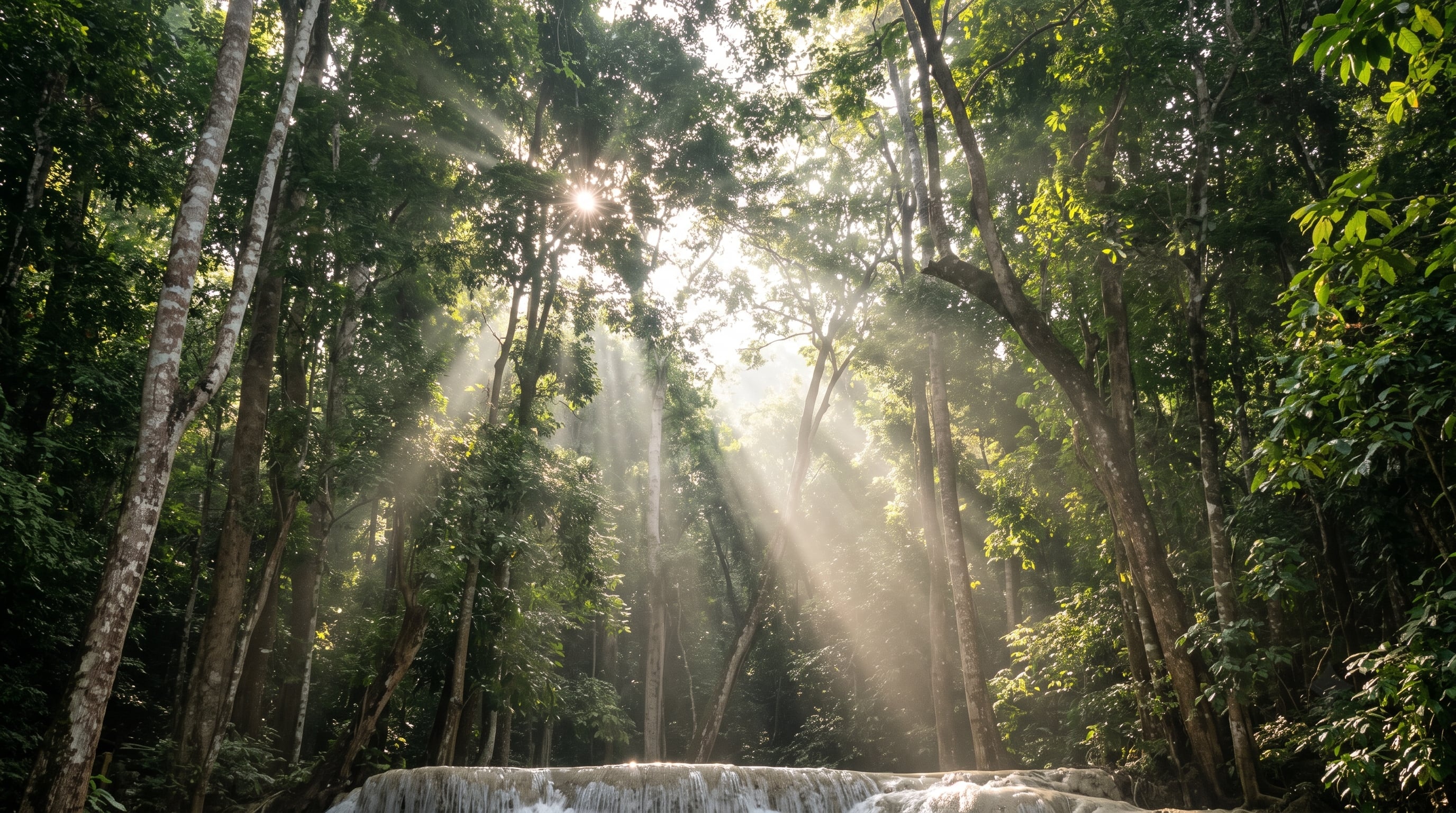,regionOfInterest=(1376,768))
Where is Los Haitises National Park located?
The first question that arises when organising a visit is the location of Los Haitises National Park, as it is a large protected area in the northeast of the Dominican Republic and a good portion of tourist visits are made by water, especially from Samaná and Sabana de la Mar.
Address:
The park extends across the southwest end of Samaná Bay, between the municipalities of Sabana de la Mar and Sánchez, bordering the provinces of Hato Mayor and Monte Plata, in the northeast of the Dominican Republic.
The main access points are the area of Caño Hondo, next to Sabana de la Mar, and the tourist pier of Samaná, from where most boat excursions depart.
Los Haitises National Park, Sabana de la Mar 25000, Hato Mayor, Dominican Republic.
How to get to Los Haitises National Park:
There are two main ways to get to the park. The first is by road to Sabana de la Mar and continuing to the Caño Hondo visitor centre, a journey over somewhat uneven terrain in its final section.
The second, much more common, consists of boarding a boat from the Samaná pier to head into the park's channels with a journey of about 45 minutes.
If you have searched for Los Haitises National Park from Punta Cana, you will have noticed that the park is quite far from this tourist area, in the northeast of the country. Even so, there are full-day excursions from Punta Cana and Bávaro that combine road travel with a visit to the park and other activities in the area. The content of these excursions varies depending on the operator, so it is advisable to check the included stops and the time dedicated to each one beforehand.
Parking at Los Haitises National Park:
If you arrive by road to one of the land access points, it is advisable to check beforehand where you can leave your vehicle and where the excursion you have booked departs from. For many travellers, it is easier to book an excursion from Samaná or Sabana de la Mar than to organise the travel and entry to the protected area separately.
Map of Los Haitises National Park:
The reviews of Los Haitises National Park mostly agree that it is a unique experience and very different from the rest of the country, highlighting above all the feeling of entering an almost unreal landscape among the limestone islets.
Among the less positive comments are complaints about how long the road journey from the east of the country takes, as well as some mentions of the swell during the journey through the bay when it coincides with days of strong wind.
Before touring the park, it is advisable to keep some recommendations in mind:
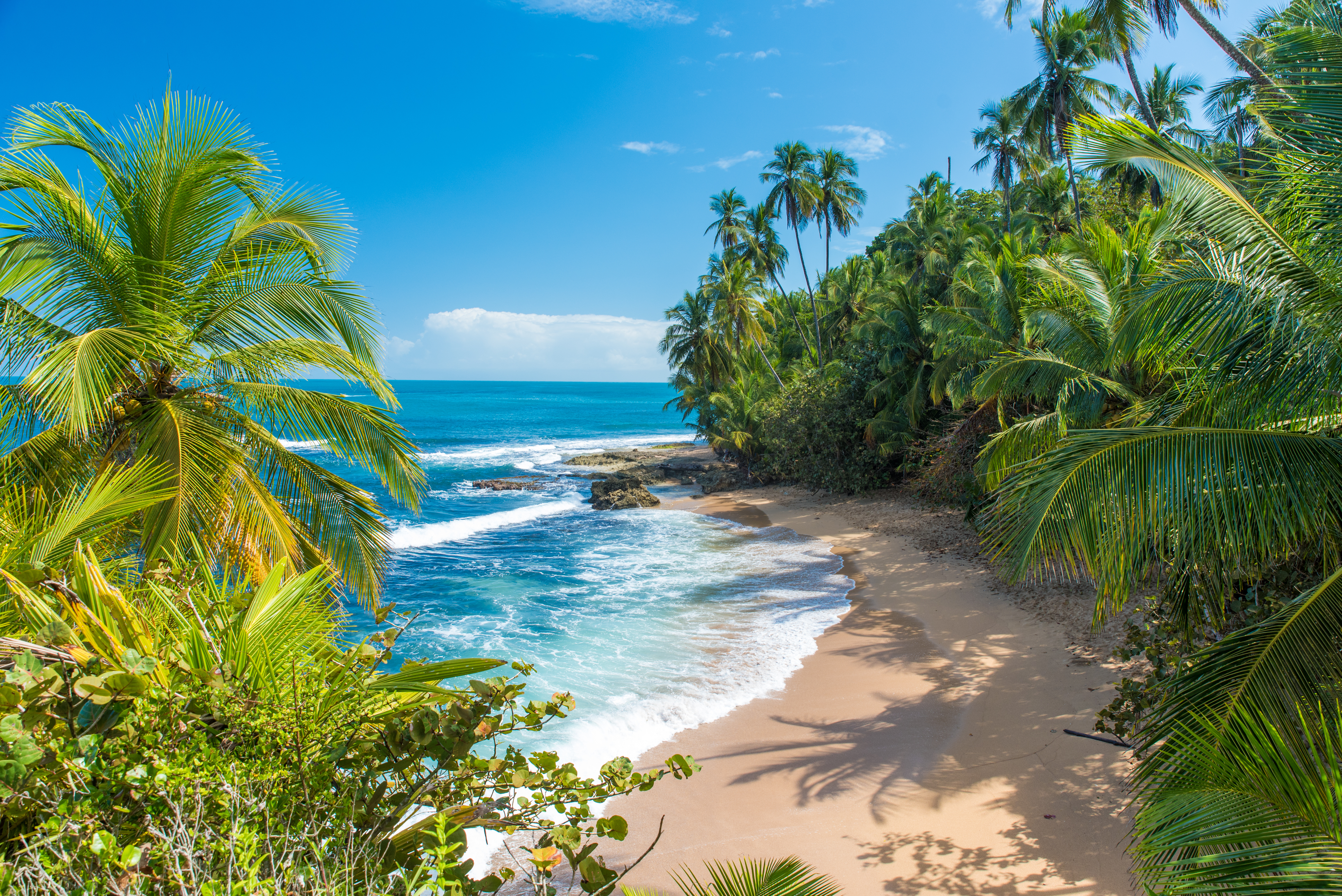,regionOfInterest=(3008,2008))
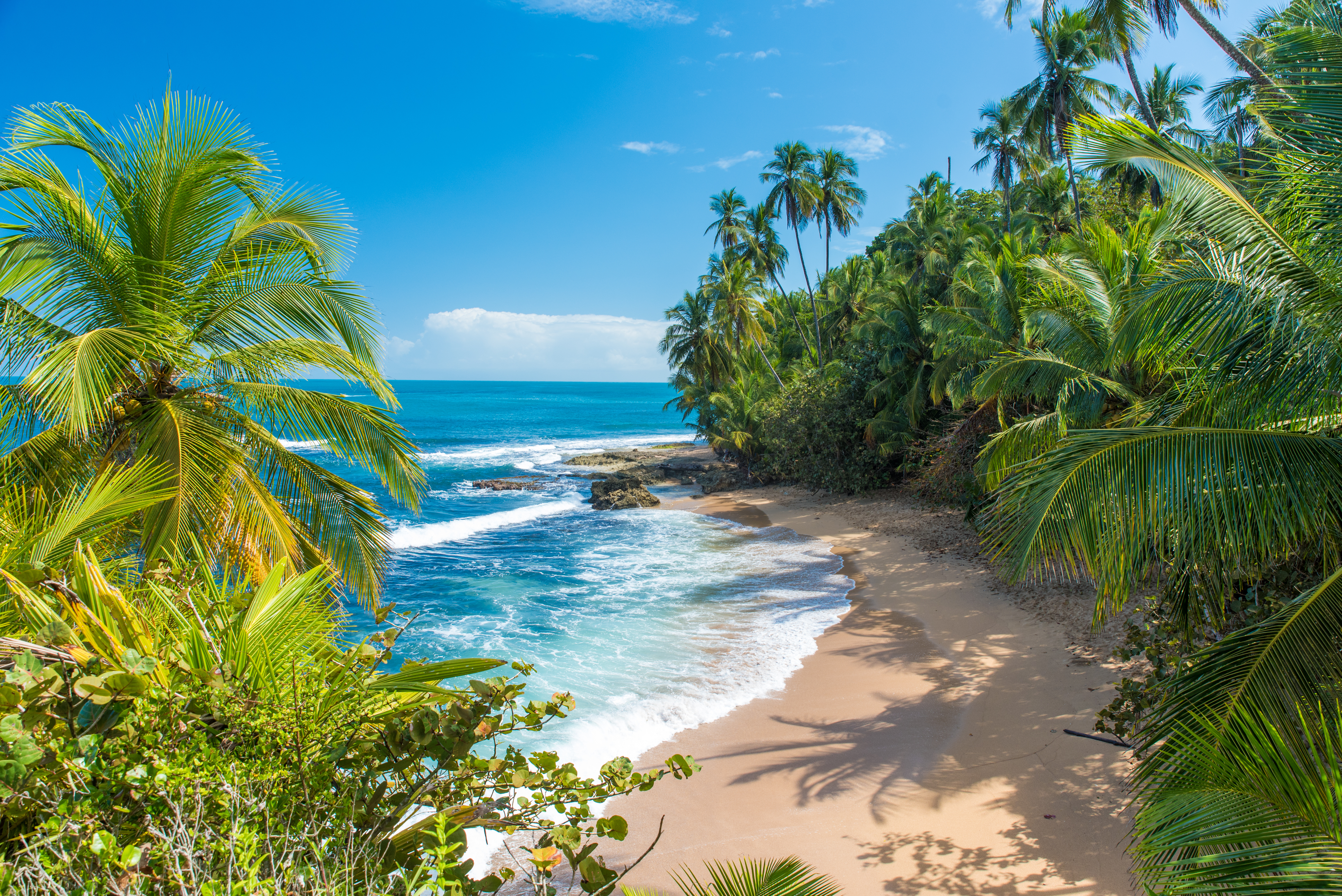,regionOfInterest=(3008,2008))
Do you have questions about what activities to do in Los Haitises National Park? The tour through its channels and caves offers several stops that are important to know in advance. These are the most prominent:
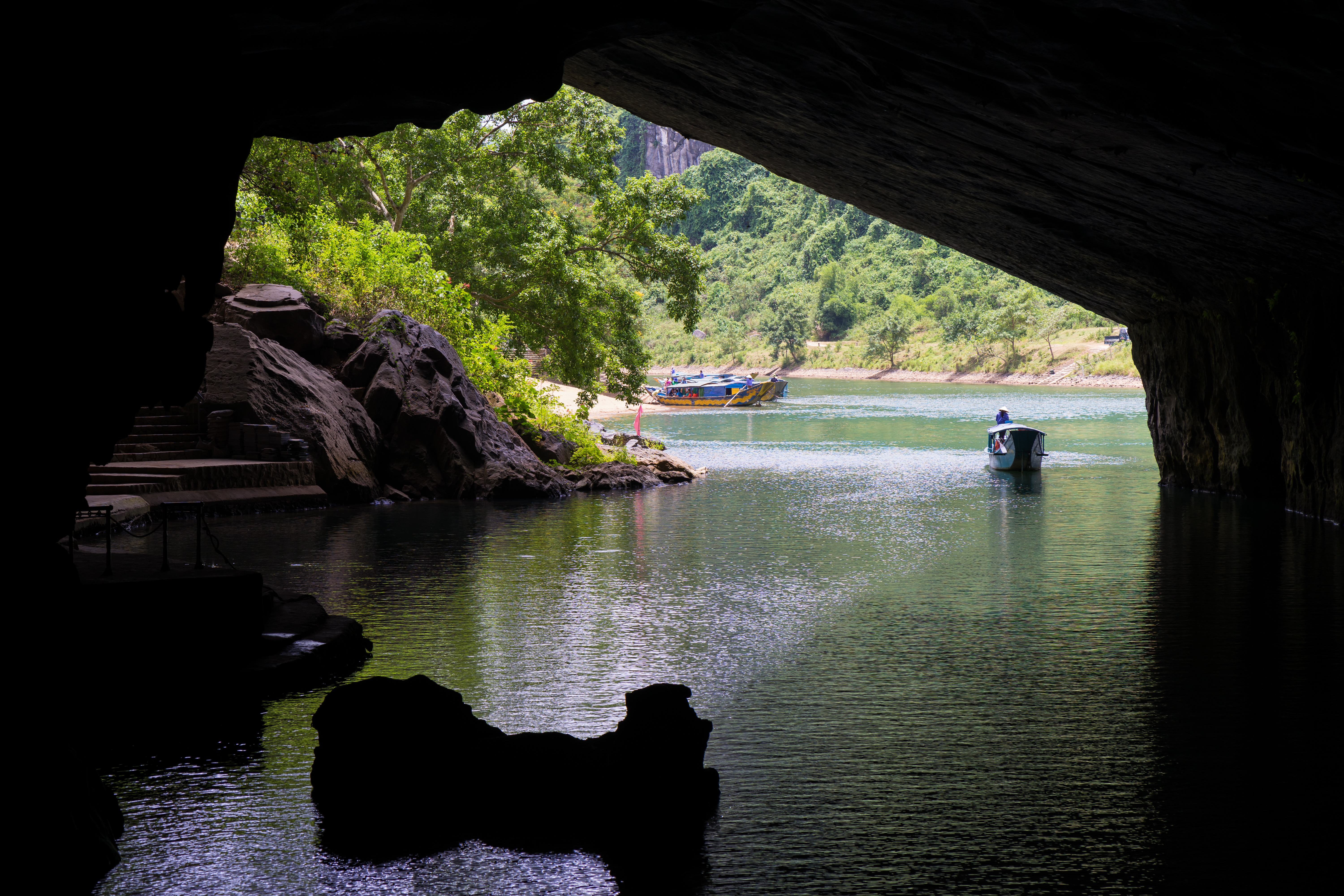
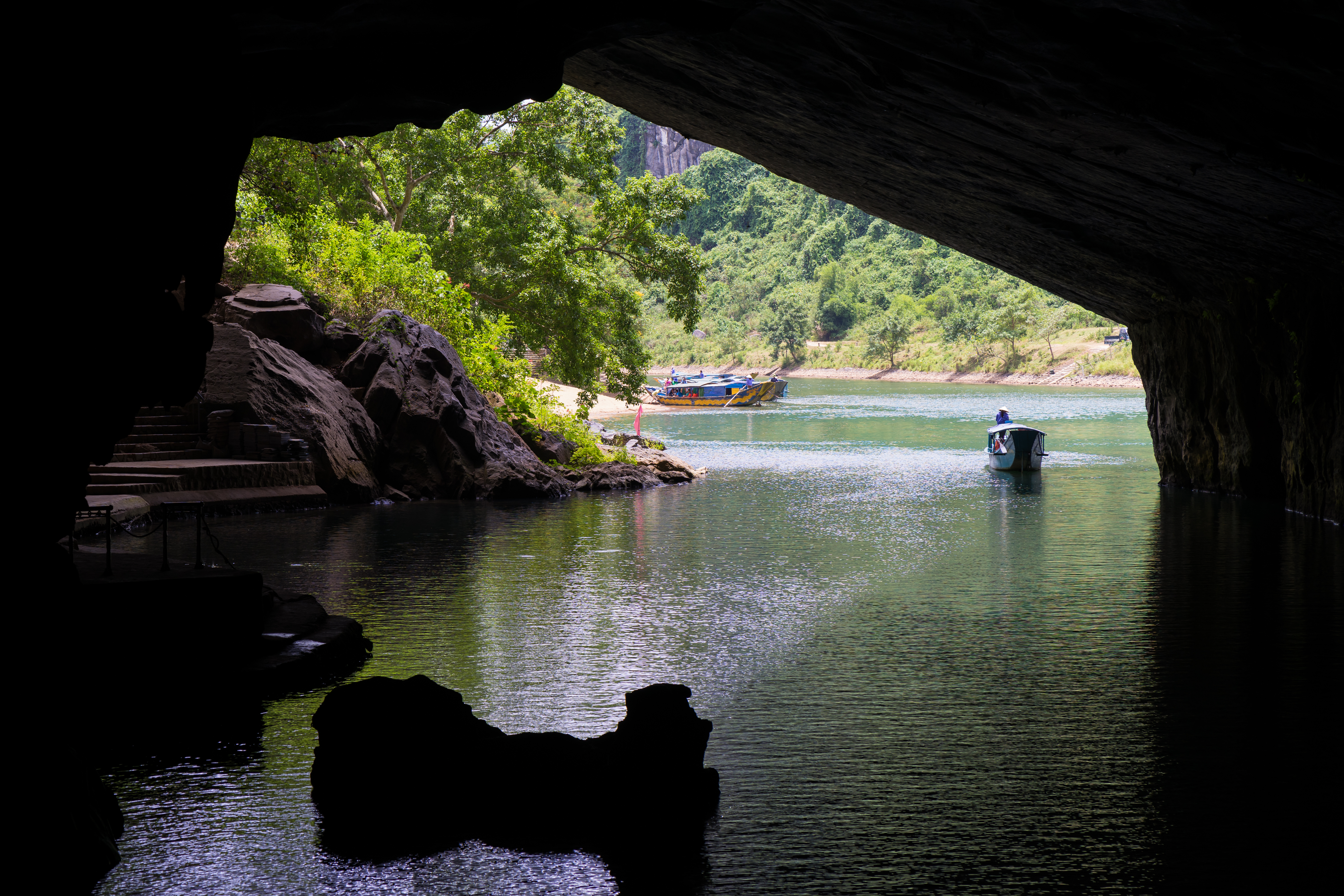
The most common way to get to know the park is to sail through its mangrove channels, passing under the roots of the trees and dodging the limestone islets that rise above the water. It is, by far, the star activity in Los Haitises.
Among the most visited cavities are the Cueva de la Línea and the Cueva de San Gabriel. Both have perfectly preserved Taíno pictographs and petroglyphs on their walls, as well as stalactite and stalagmite formations that have been forming for thousands of years.
Los Haitises has one of the highest concentrations of seabirds and mangrove birds in the country, with species such as the brown pelican, the magnificent frigatebird, or various endemic herons, which makes the park a regular stop for birdwatching enthusiasts.
,regionOfInterest=(3000,2000))
,regionOfInterest=(3000,2000))
,regionOfInterest=(2732,1820))
,regionOfInterest=(2732,1820))
,regionOfInterest=(2262,1508))
,regionOfInterest=(2262,1508))
,regionOfInterest=(2565.5,1505.5))
,regionOfInterest=(2565.5,1505.5))
,regionOfInterest=(3976,2652))
,regionOfInterest=(3976,2652))
,regionOfInterest=(3976,2652))
,regionOfInterest=(3976,2652))