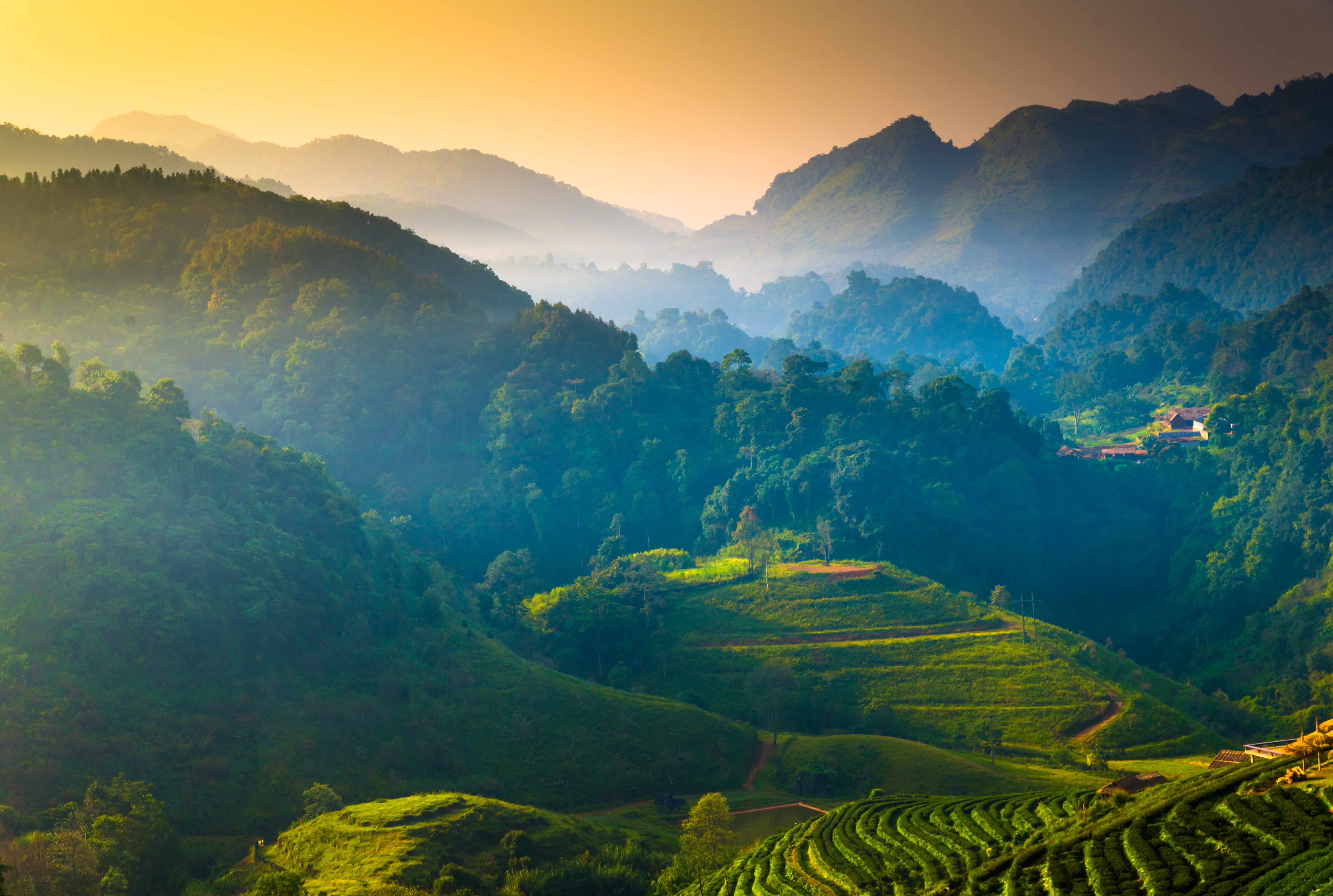
,regionOfInterest=(2900.5,1949.5))
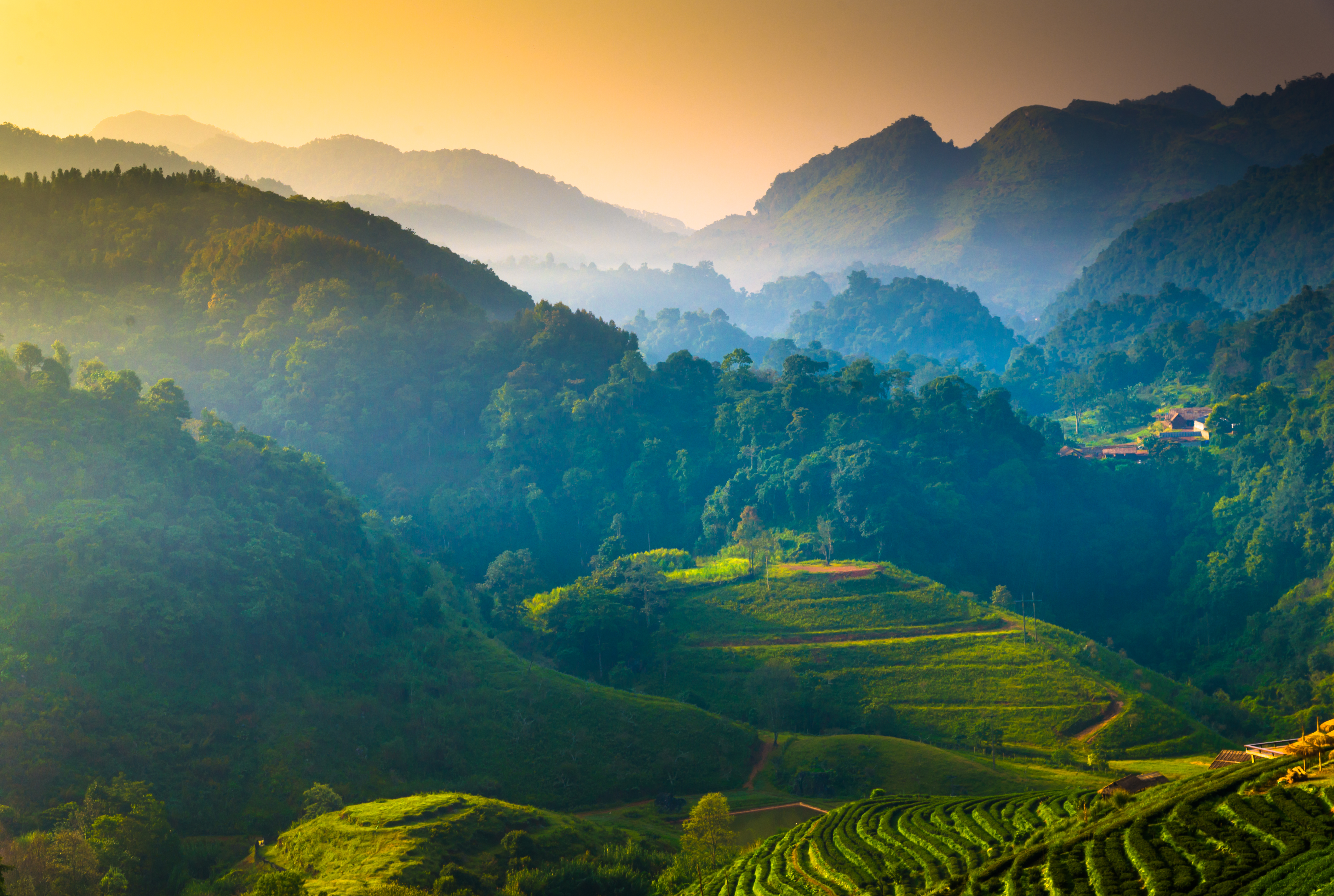,regionOfInterest=(2900.5,1949.5))
The best coves in Mallorca
,regionOfInterest=(707.5,1059.5))
,regionOfInterest=(707.5,1059.5))
Culture
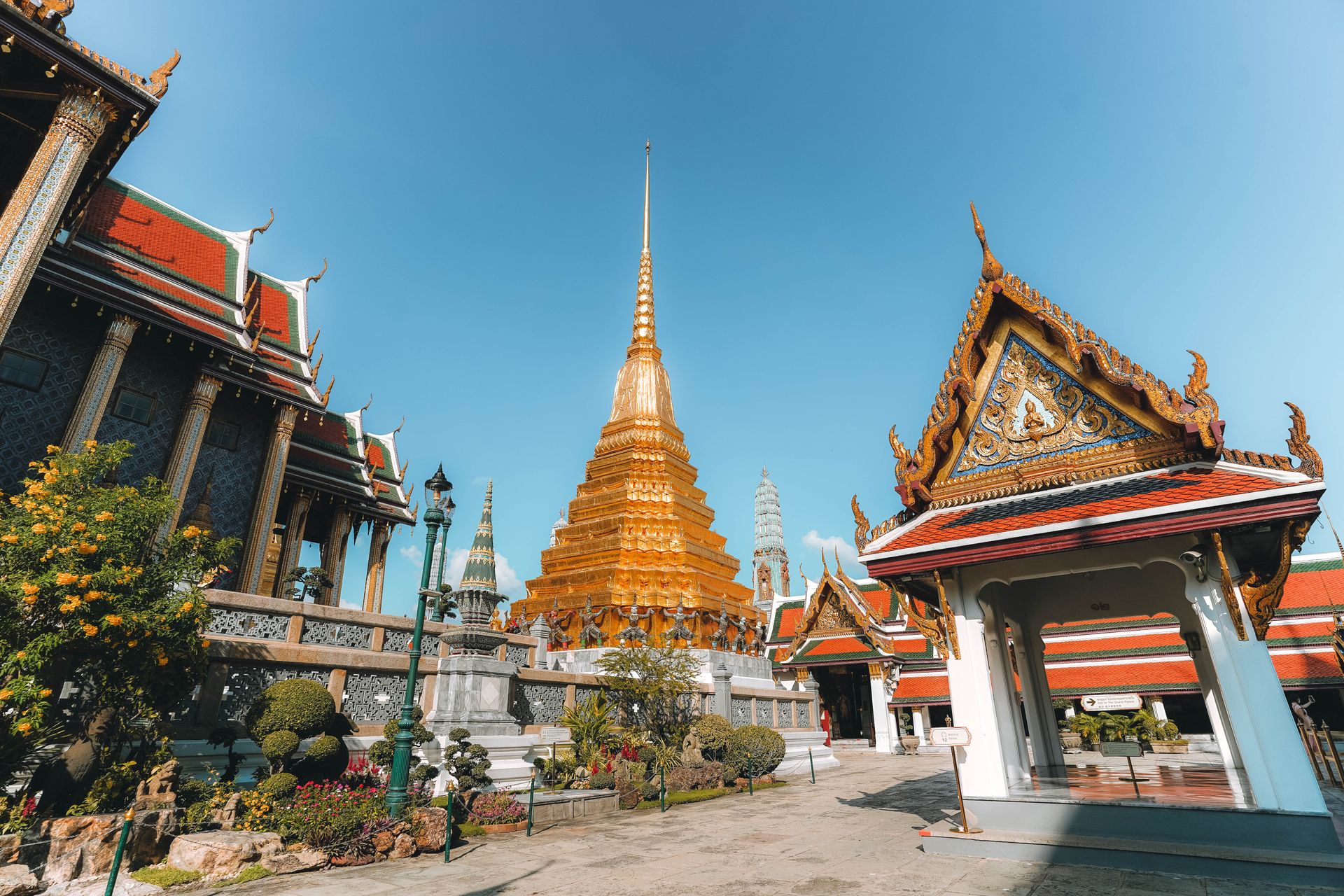,regionOfInterest=(960,640))
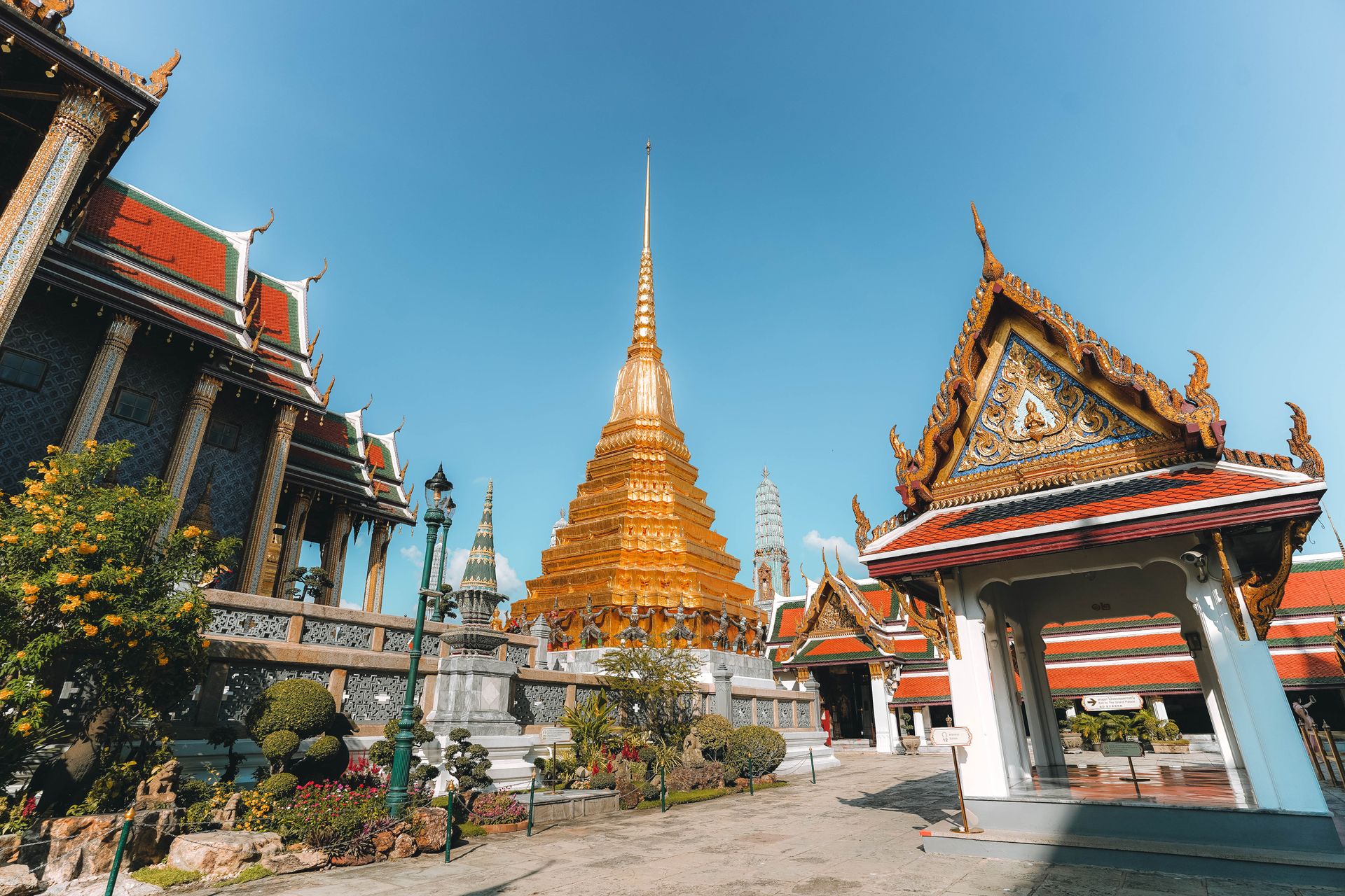,regionOfInterest=(960,640))
Culture
,regionOfInterest=(512,482))
,regionOfInterest=(512,482))
Digital marketing specialist with a passion for travel, writing, and discovering what makes every destination unique.
Pull up any Chiang Mai map for the first time and one shape jumps out immediately: a near-perfect square moat, ringing the Old City like a drawn border, with the Ping River curling past its eastern edge and the rest of the city spreading out from there.
That square is the single most useful reference point on the whole map. Once it clicks, the rest of Chiang Mai's layout, where the temples cluster, where the nightlife runs, where to actually base a stay, falls into place far faster than staring at a phone screen on the ground ever does, no matter how detailed that map actually is.
,regionOfInterest=(960,640))
,regionOfInterest=(960,640))
,regionOfInterest=(960,640))
,regionOfInterest=(960,640))
,regionOfInterest=(960,640))
,regionOfInterest=(960,640))
,regionOfInterest=(960,634))
,regionOfInterest=(960,634))
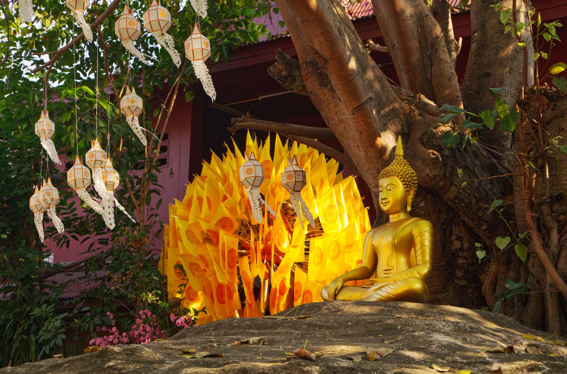
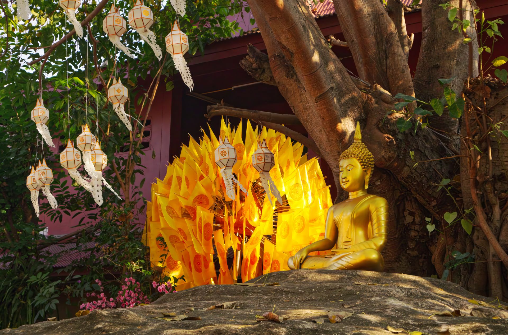
Nearly everything a first-time visitor needs orients around three anchors: the Old City's moat, the Ping River, and Doi Suthep on the horizon. Here is each in turn, plus the neighbourhoods that sit between them.
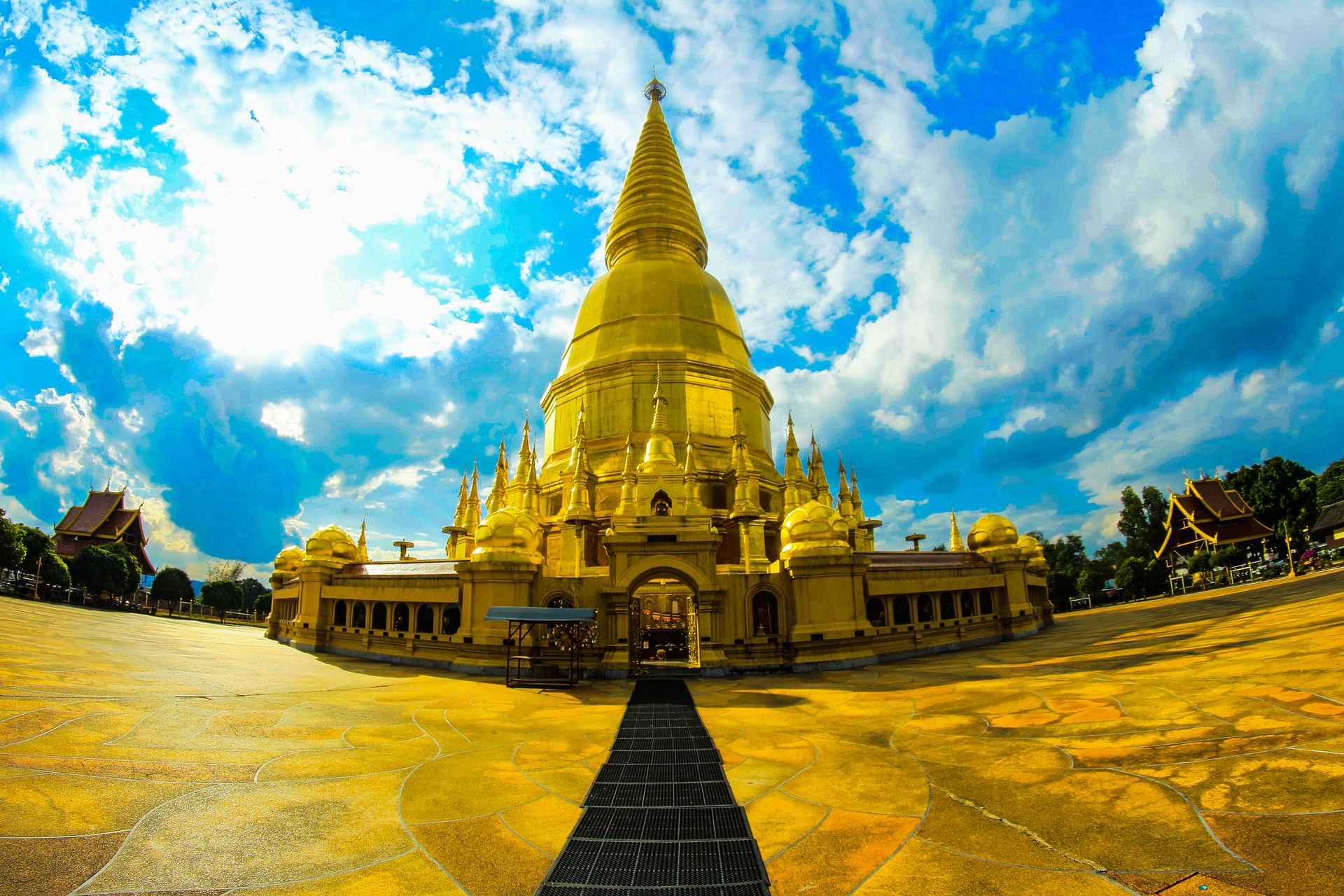
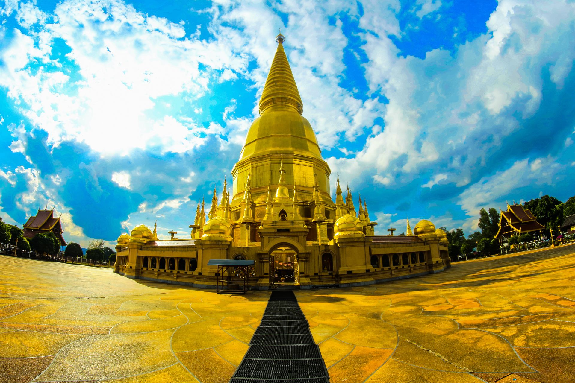
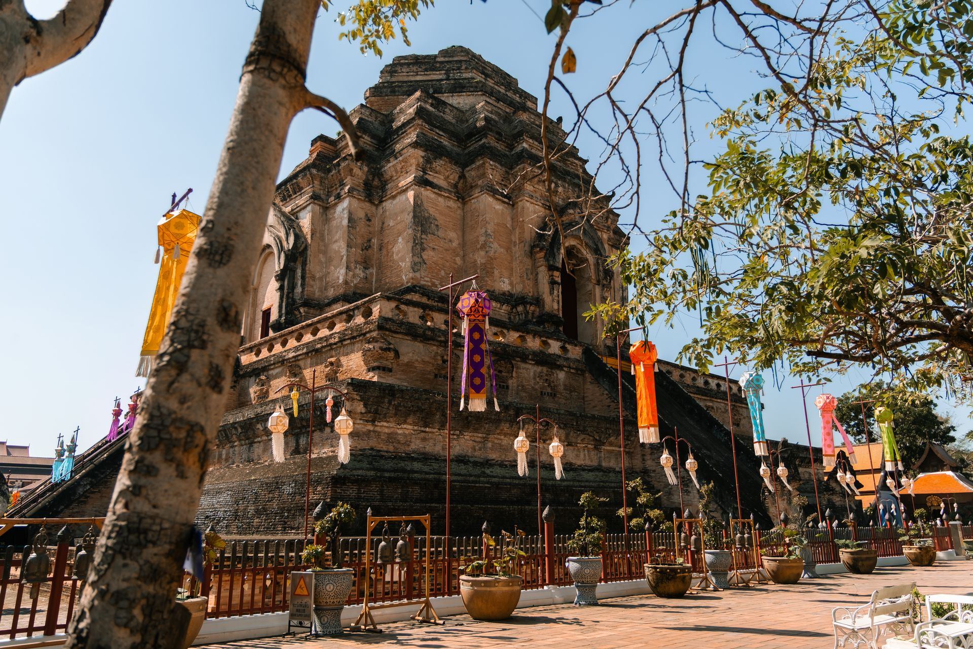
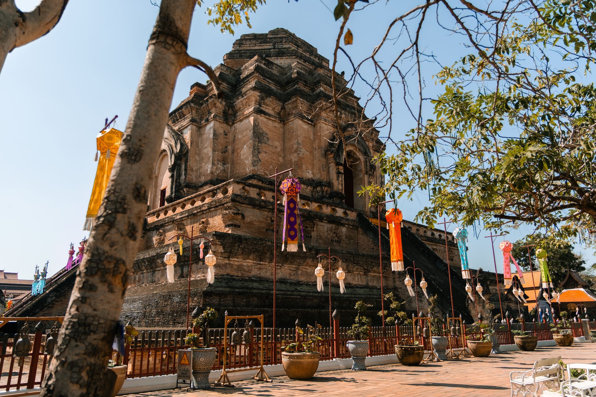
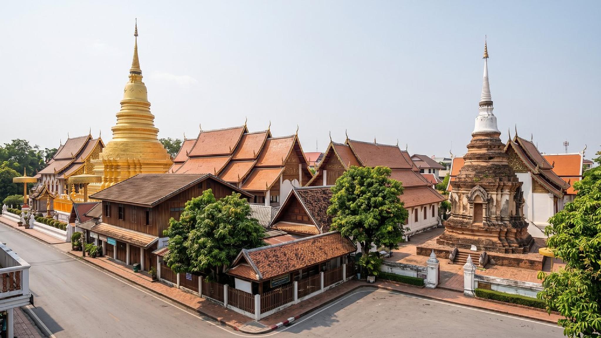
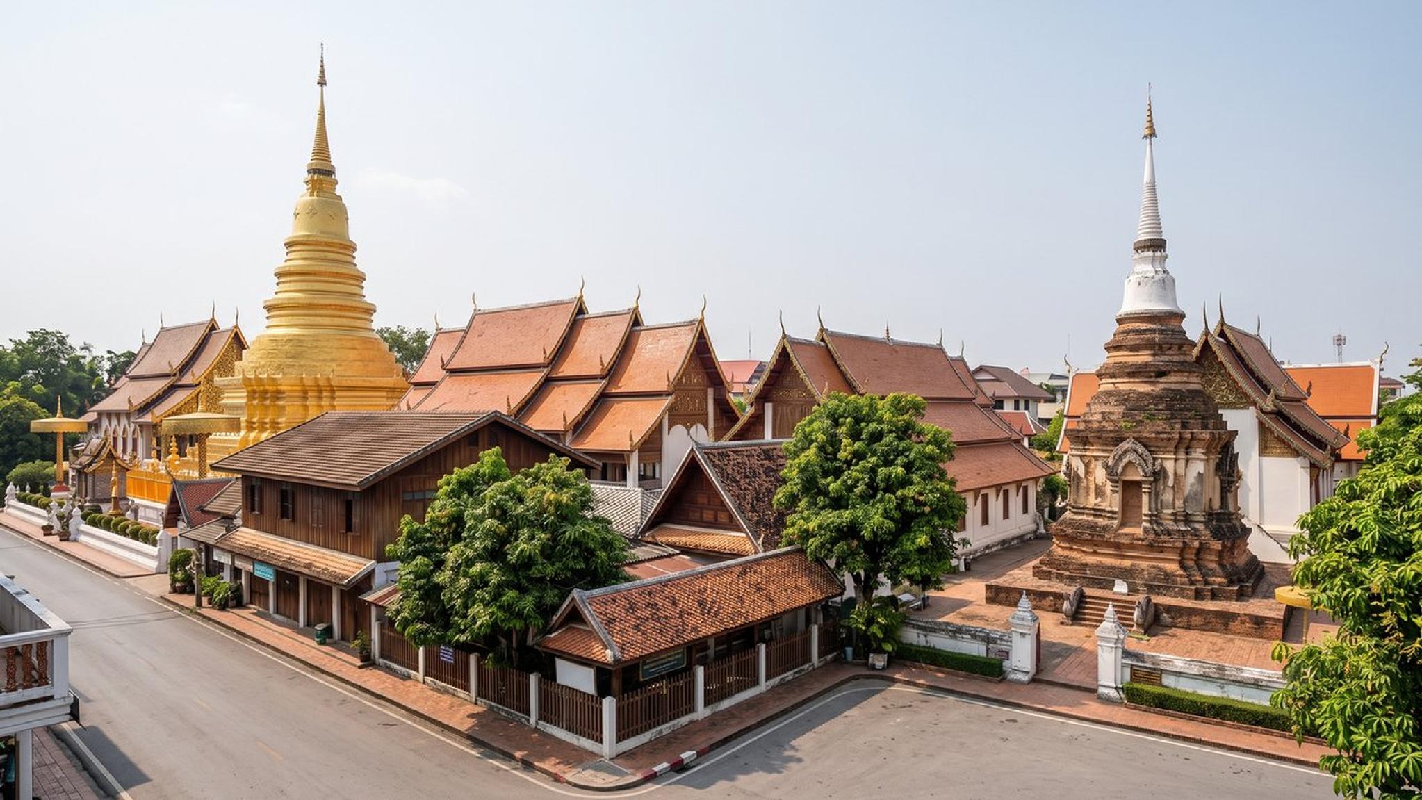
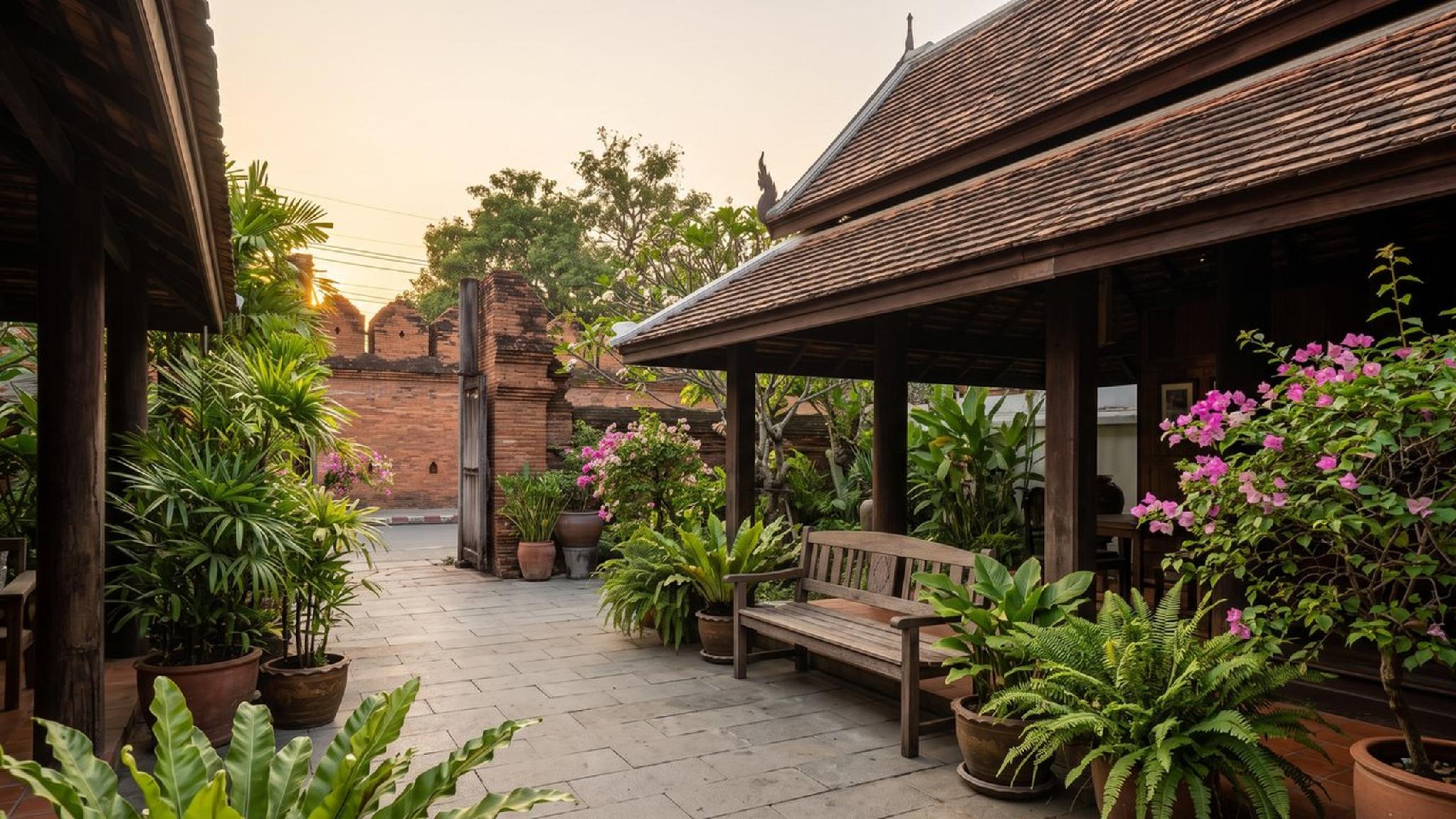
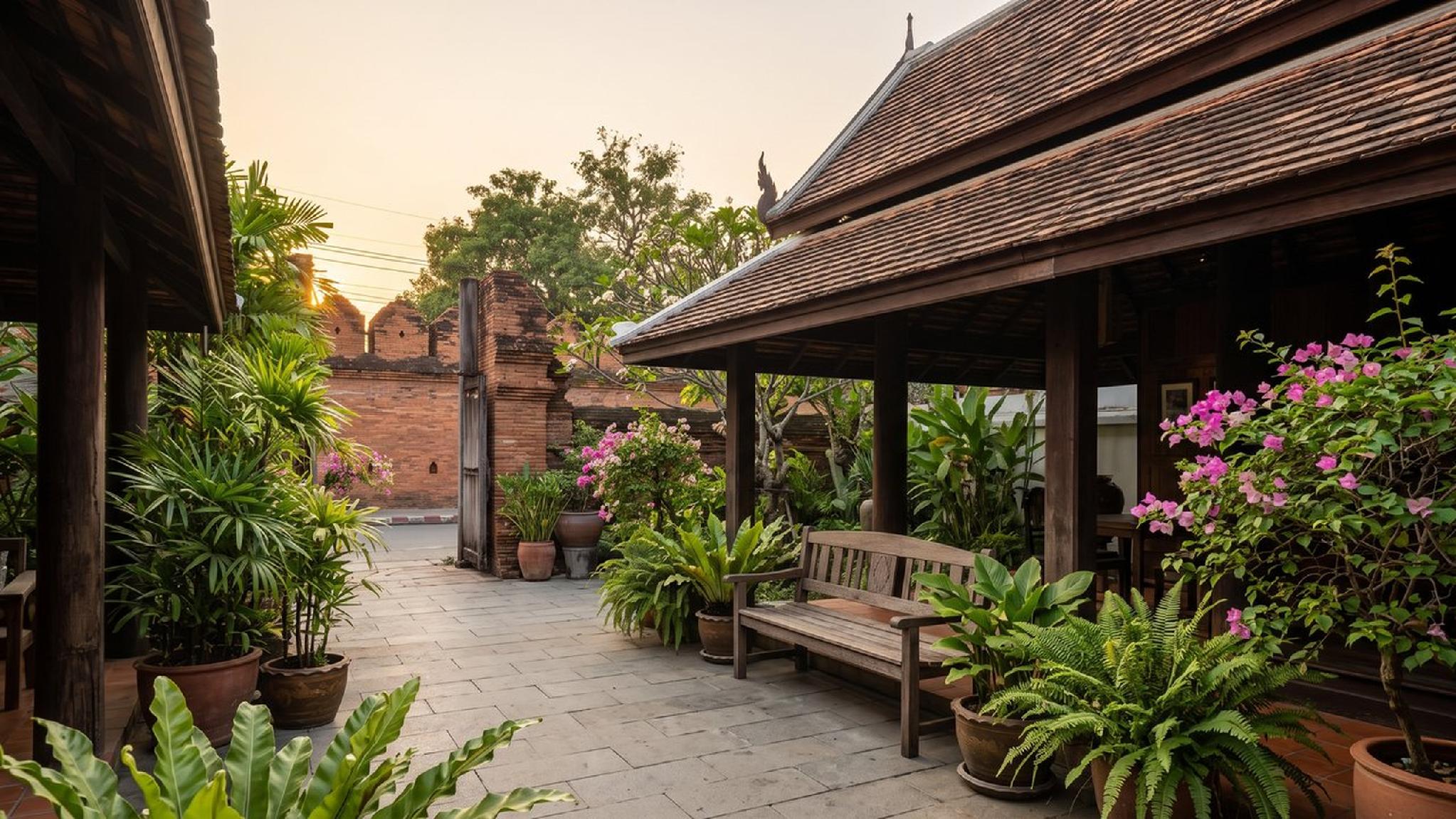
The Old City sits inside its own moat and crumbling brick walls, a near-perfect square with a gate at the centre of each side, Tha Phae Gate on the east being the busiest and most recognisable. Nearly every well-known temple in the historic core sits inside or just outside this square, which makes the moat itself the single easiest landmark for getting oriented on any Chiang Mai map.
Reading a Chiang Mai map for the first time, the moat's four gates are worth learning by name rather than only by compass direction, since locals and drivers alike refer to them constantly: Tha Phae Gate to the east, Chang Puak Gate to the north, Suan Dok Gate to the west, and Chiang Mai Gate to the south. Giving a driver a gate name rather than a street address often gets a faster, more accurate response than reading out a full address from a phone screen.
,regionOfInterest=(960,640))
,regionOfInterest=(960,640))
East of the moat, Chang Khlan stretches toward the Ping River, home to the Night Bazaar, the bulk of the city's newer hotels, and the main road, Charoen Prathet, that most airport transfers use to reach this side of town. Cross the river itself and the character shifts again: the Wat Ket district on the eastern bank runs quieter and more residential, old wooden shophouses, laid-back riverside cafes and bars, and noticeably less tourist traffic than Chang Khlan just across the water.
West of the Old City, Nimmanhaemin, usually shortened to Nimman, runs a completely different register again: cafes, boutique shops, and a younger, more design-forward crowd than the temples across the moat. Santitham, tucked north of Nimman, offers a similar pace at a noticeably lower cost, popular with longer-stay visitors who want Nimman's convenience without its prices.
,regionOfInterest=(1023,575.5))
,regionOfInterest=(1023,575.5))
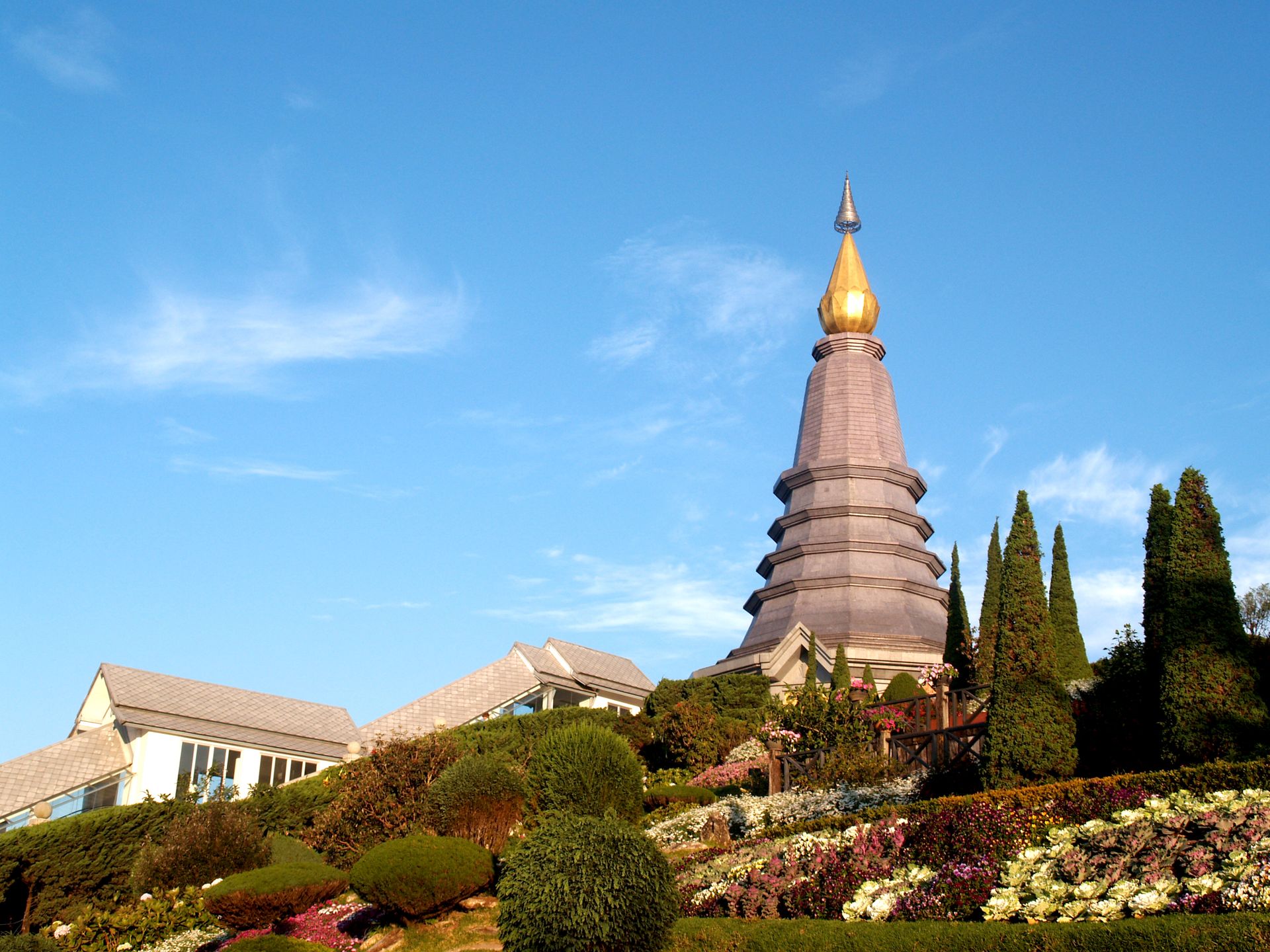
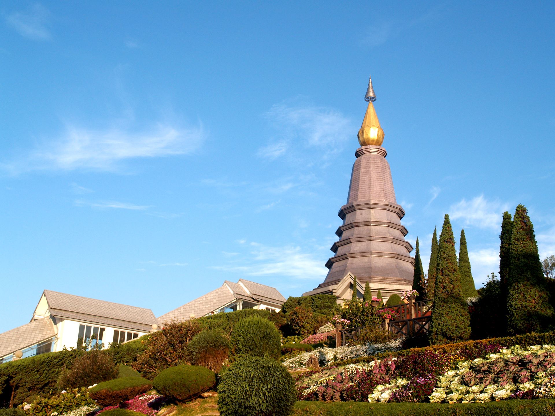
Doi Suthep rises to the northwest, visible from much of the city on a clear day and a genuinely useful landmark for figuring out which direction is which without checking a phone. The airport sits just south of the Old City, close enough that its runway shows up on most city maps as a visible strip cutting across the southern edge of town.
The Ping River itself runs roughly north to south along the city's eastern flank, separating Chang Khlan on the western bank from Wat Ket on the eastern one before continuing south past the rest of the Riverside area. Anyone glancing at a Chiang Mai map and trying to work out east from west can use the river as a second reliable anchor alongside the moat, since almost every part of the city sits either west of the river, toward the Old City and Doi Suthep, or hugging close to its own banks instead.
,regionOfInterest=(1023,575.5))
,regionOfInterest=(1023,575.5))
Most of what a first-time visitor actually wants to see clusters into a handful of areas rather than scattering randomly across the map. Here is where the major attractions sit relative to the Old City's moat.
|
Attraction |
Area |
Distance From the Old City |
|
Wat Phra Singh, Wat Chedi Luang, Wat Chiang Man |
Inside the Old City moat |
Within the square itself |
|
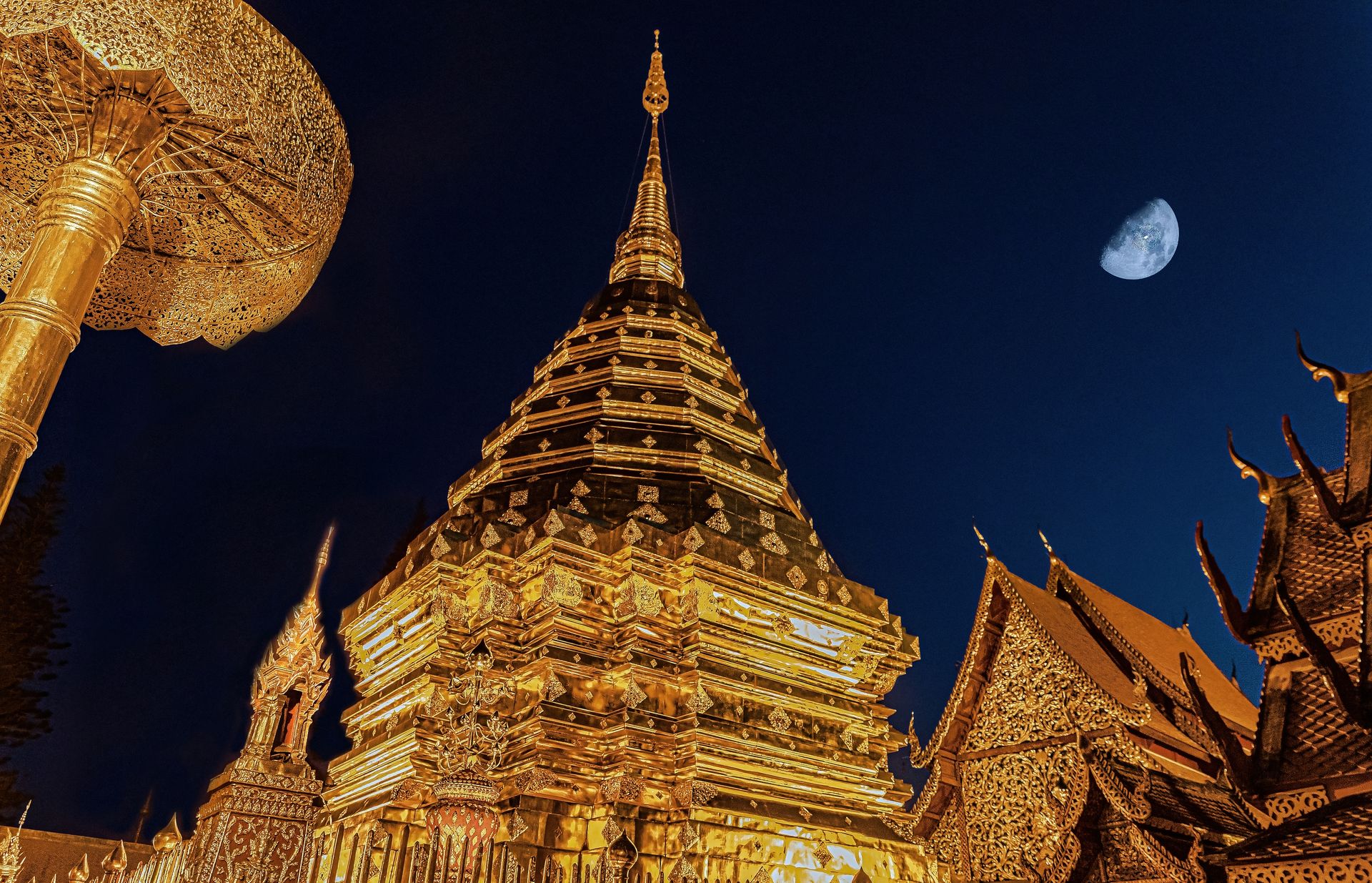
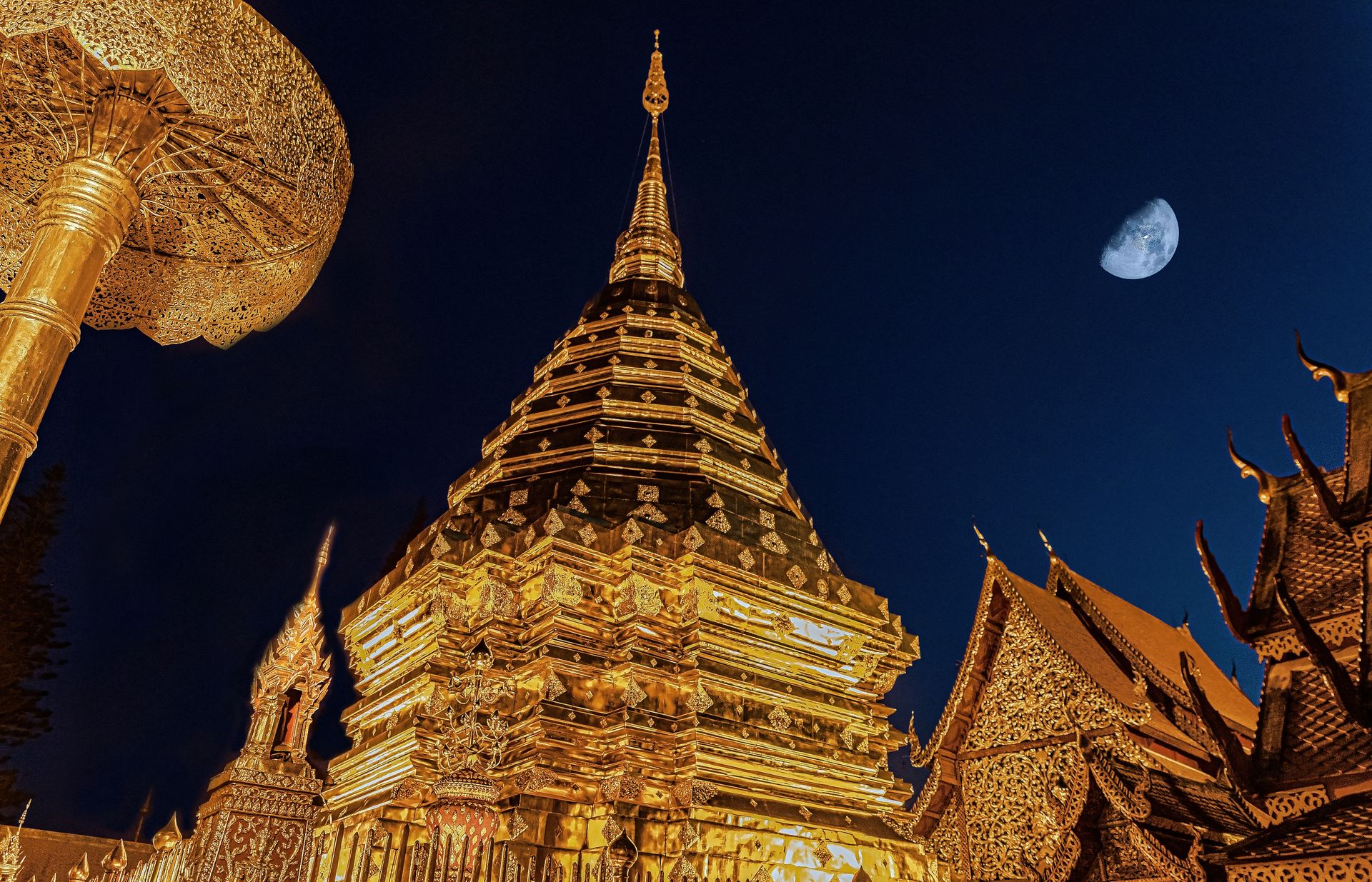
Wat Phra That Doi Suthep |
Doi Suthep, northwest |
About 15 km, 30 to 45 minutes by road |
|
Chiang Mai Night Bazaar |
Chang Khlan, east of the moat |
About 1.5 to 2 km |
|
Warorot Market and Ton Lamyai flower market |
Riverside, east of the moat |
About 1.5 km |
|
Nimman cafes and galleries |
Nimmanhaemin, west of the moat |
About 2 to 3 km |
|
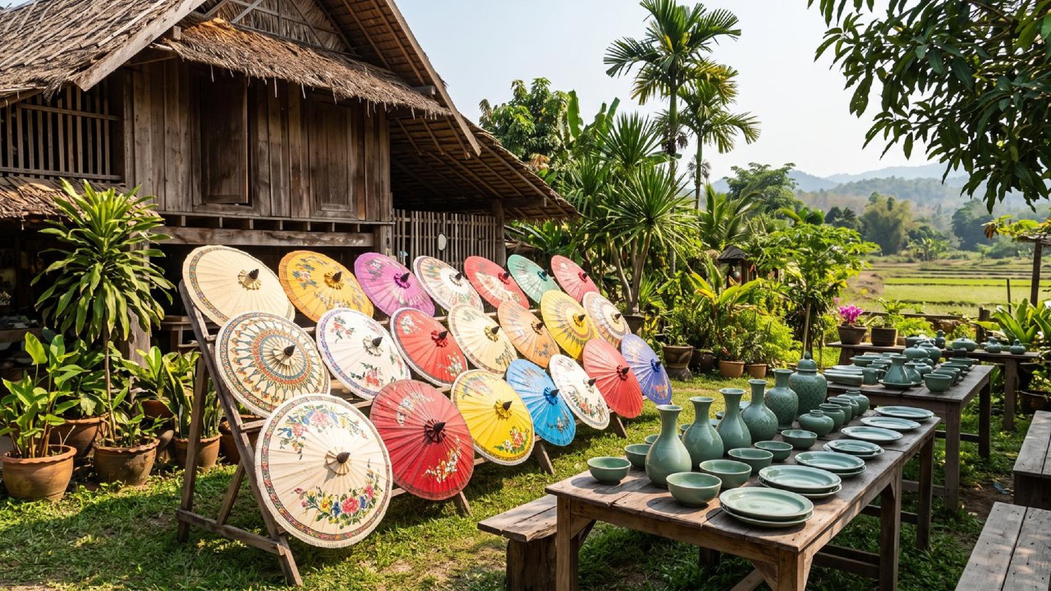
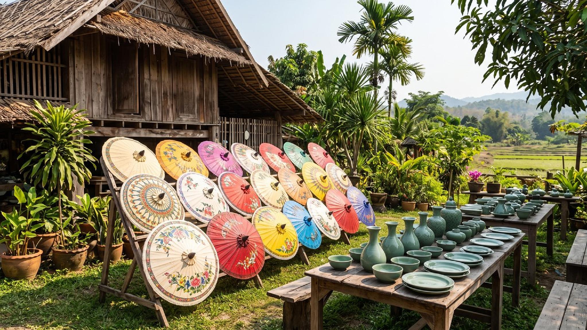
Bo Sang and San Kamphaeng craft villages |
East of the city |
9 to 13 km |
|
Doi Inthanon National Park |
South, on the way to Chom Thong |
About 1.5-2 hours by road |
That spread means a first Chiang Mai map worth memorising is really just four zones: the moat itself for temples, Chang Khlan and the riverside for markets and dining, Nimman for cafes and design, and everything else as a half-day or full-day trip out of the centre. Here is each cluster in a little more detail.
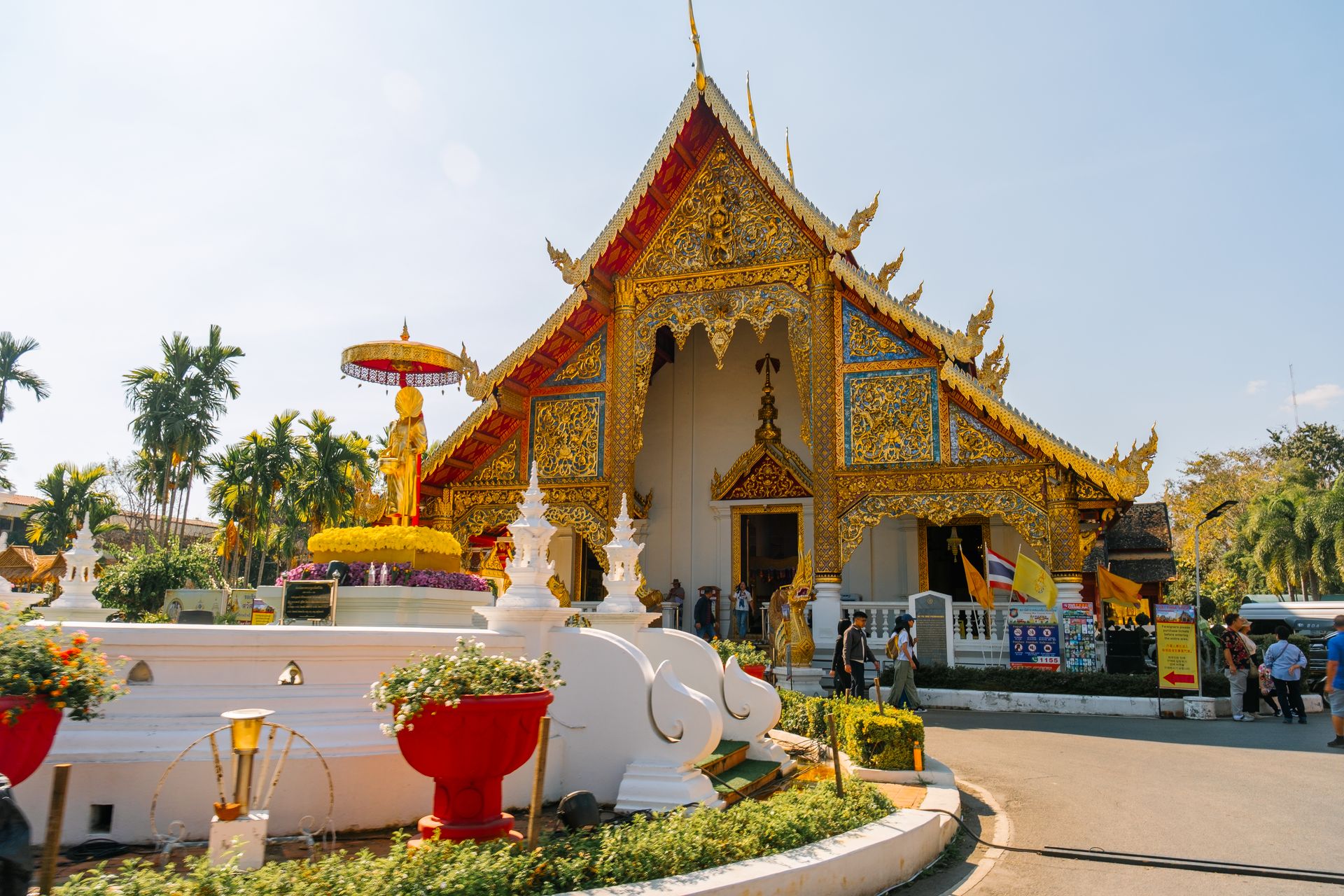
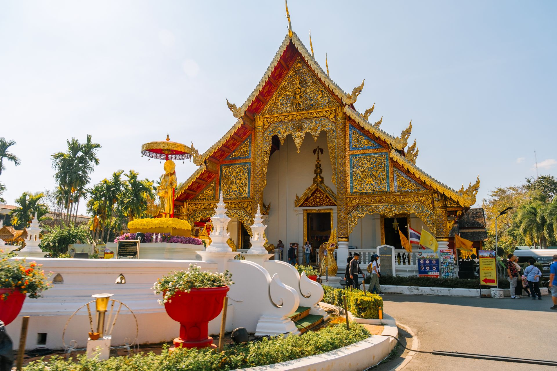
Inside the moat specifically, the three essential temples, Wat Phra Singh, Wat Chedi Luang, and Wat Chiang Man, sit close enough together to walk between on a single morning, each within about 10 to 15 minutes of the others on foot. Wat Phra That Doi Suthep is the one major attraction on this list that genuinely sits outside easy walking or even scooter range for most visitors, and it is worth building an entire morning or afternoon around rather than squeezing it between other stops.
,regionOfInterest=(1023,575.5))
,regionOfInterest=(1023,575.5))
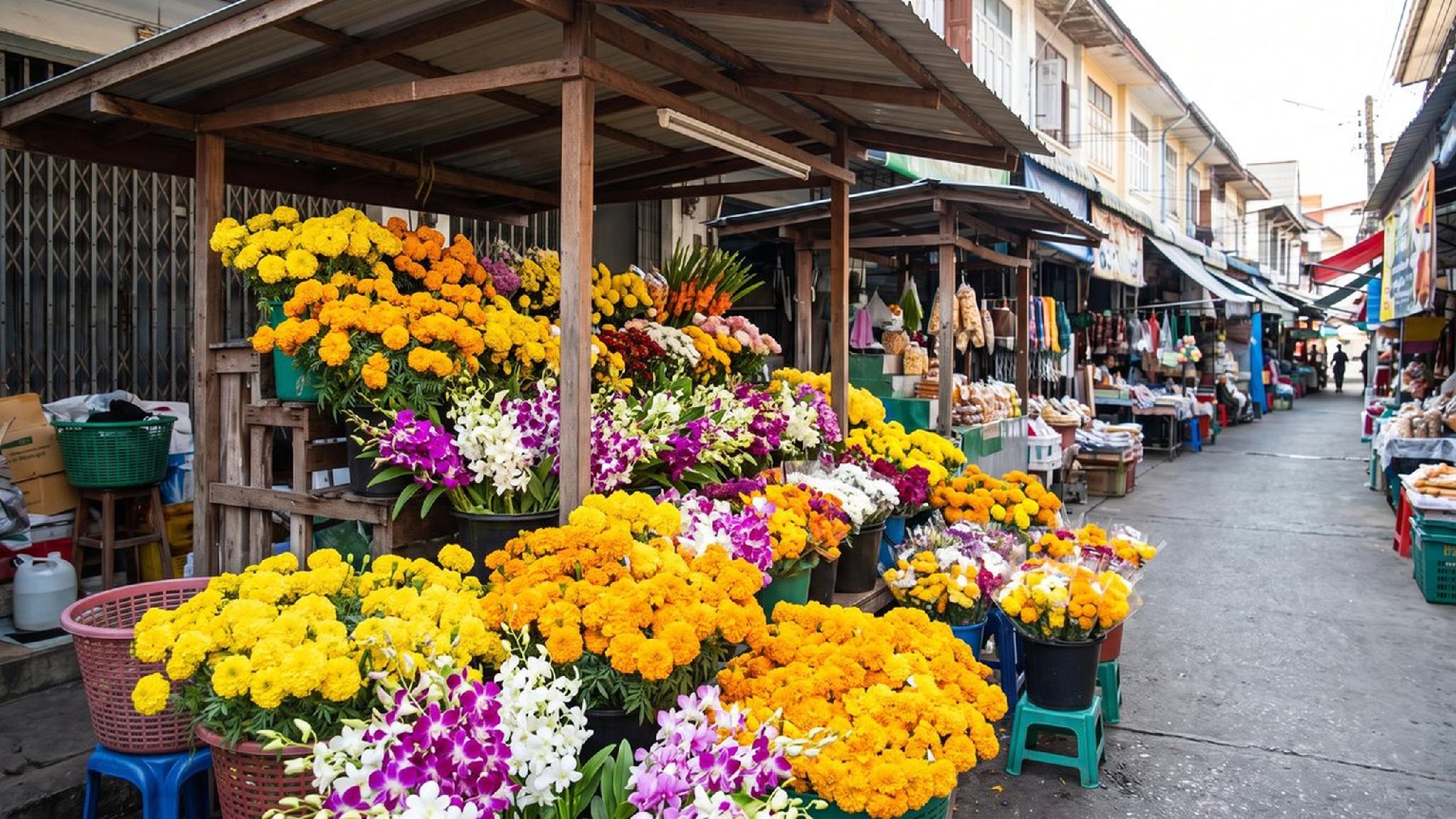
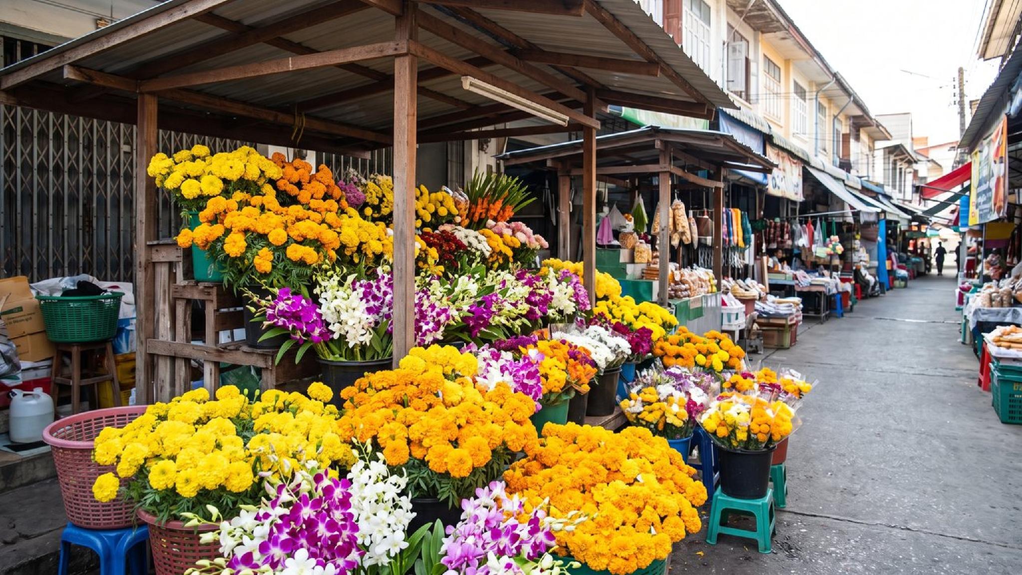
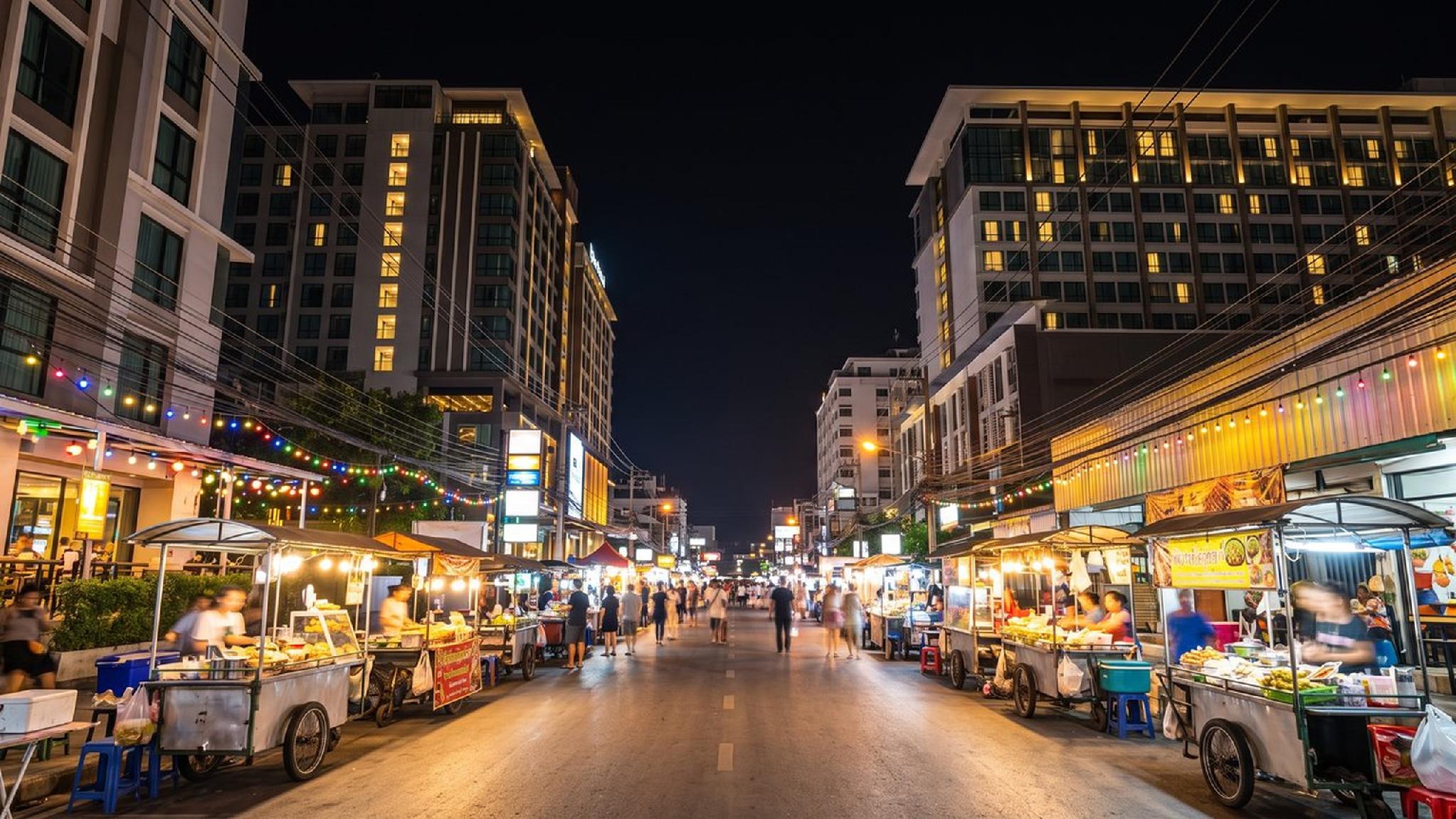
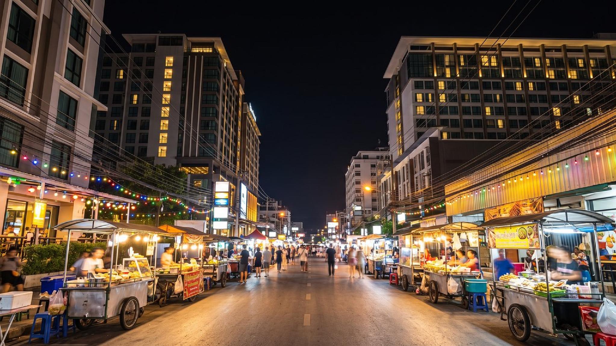
The Night Bazaar and Chiang Mai Night Bazaar precinct run nightly rather than on a single fixed day, which makes them a flexible evening stop regardless of which day an itinerary lands on. Warorot Market and the Ton Lamyai flower market, by contrast, run on a daytime schedule with their liveliest hours before noon, worth checking against a Chiang Mai map's distance from wherever a trip is based before planning an early start around them.
,regionOfInterest=(960,617.5))
,regionOfInterest=(960,617.5))
The craft villages of Bo Sang and San Kamphaeng sit along the same eastern road out of the city, close enough together that a single half-day trip covers both without backtracking, while Doi Inthanon National Park to the south needs its own dedicated day given the 90-minute drive each way. Marking these two clusters clearly on any Chiang Mai map before planning a week-long trip helps avoid accidentally scheduling both a Doi Suthep morning and a Doi Inthanon day trip back to back, since both involve a similar amount of driving in opposite directions from the centre.
,regionOfInterest=(1023,575.5))
,regionOfInterest=(1023,575.5))
Where a trip actually gets based shapes how much of each day gets spent in transit versus exploring. Here is how the main areas compare, by general character rather than any specific property.
|
Area |
General Character |
Best For |
|
Old City |
Historic, moat-enclosed, temple-dense, guesthouses and boutique stays |
First-time visitors prioritising temples and walkability |
|
Chang Khlan |
Modern hotels, the Night Bazaar, river views, close to the airport |
Travellers who want a central, well-connected base with dining and shopping nearby |
|
Riverside (Wat Ket) |
Quieter, residential, old wooden shophouses, laid-back riverside cafes and bars |
Travellers who want a slower, more local pace still close to the centre |
|
Nimman |
Cafes, boutique shops, a younger and more design-forward crowd |
Digital nomads, remote workers, and travellers who want a modern, cafe-driven pace |
|
Santitham |
Quiet, local, budget-friendly, close to Nimman and the moat |
Longer stays and travellers prioritising value over central polish |
None of these areas sit far from another on a Chiang Mai map in absolute terms, the whole city is compact enough that even Nimman to the Old City runs about 10 minutes by ride-hailing app, so the choice comes down to daily atmosphere more than raw travel time.
Price also tends to track this same geography fairly closely. Rooms in Nimman and along the prime stretch of riverside generally run higher than a comparable room in the Old City or Santitham, reflecting newer construction and, in Nimman's case, a genuine premium for the neighbourhood's popularity with remote workers and longer-stay visitors.
Booking a few months ahead of the cool season, November through February, matters more in the higher-demand areas than in the quieter ones, where availability tends to hold up later into the booking window.
,regionOfInterest=(1023,575.5))
,regionOfInterest=(1023,575.5))
Each area suits a different kind of trip more than another, competitors covering this same question tend to split it exactly this way. Here is which travel style fits each of the five main areas.
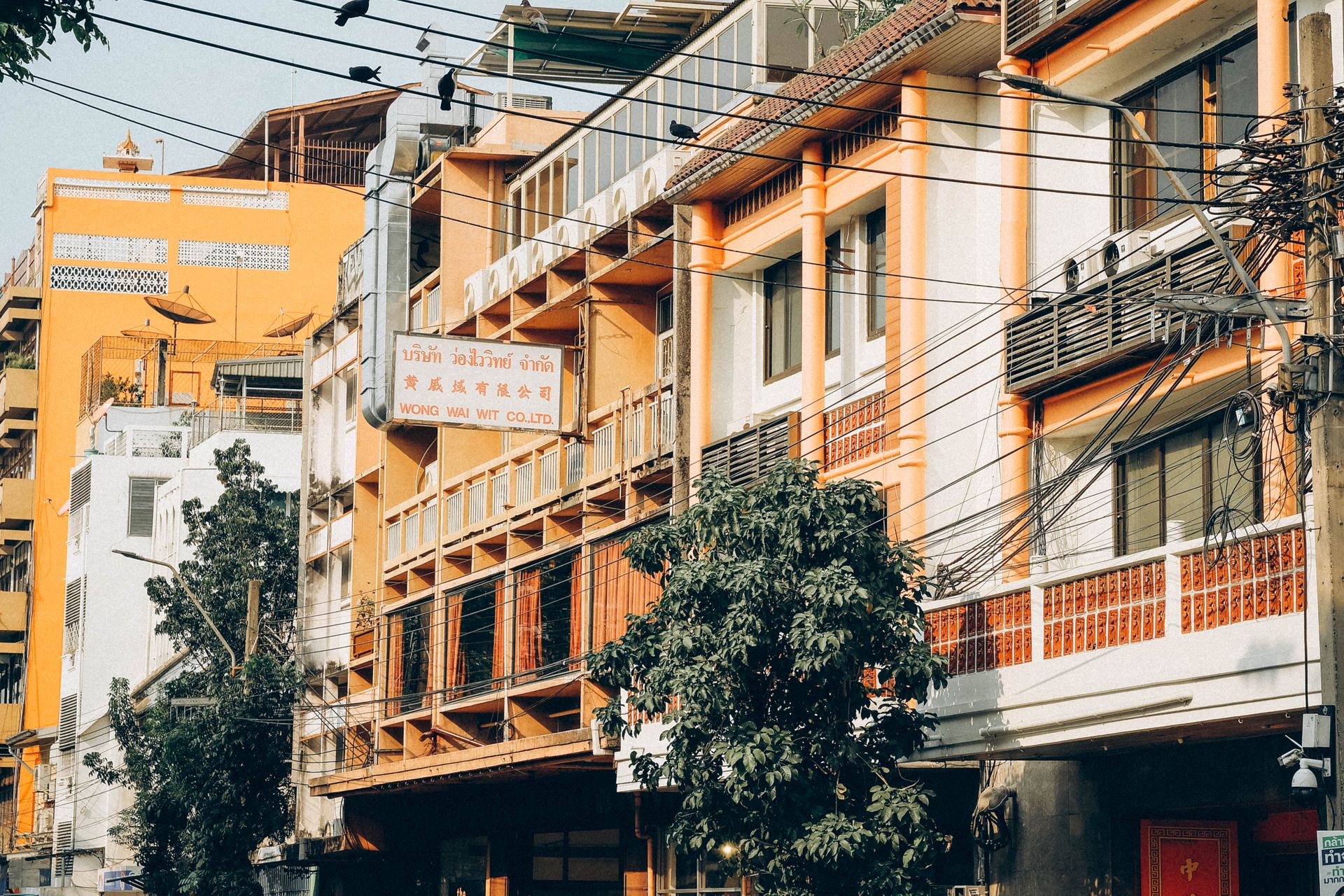
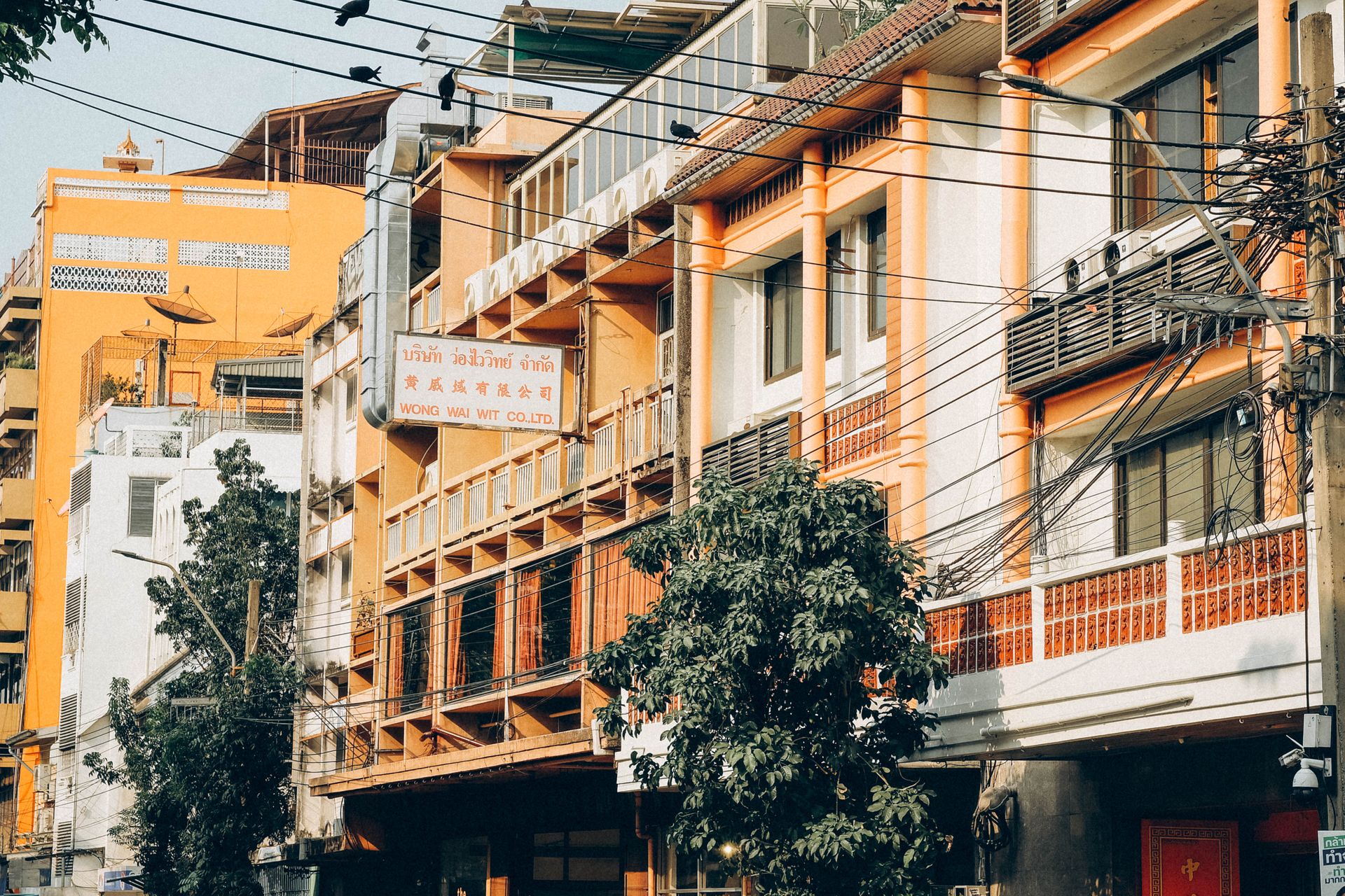
A traveller building a trip mostly around temples and the Old City's own history tends to do best based right inside or just outside the moat, close enough to walk to Wat Phra Singh or Wat Chedi Luang without needing transport most mornings.
Guesthouses and boutique stays dominate the accommodation options here, generally smaller and more intimate than the larger hotels found across the water in Chang Khlan, a genuine trade-off between atmosphere and the space, pool, and amenities a bigger property can offer, and a quieter dining scene after dark compared with the areas just across the moat.
,regionOfInterest=(960,640))
,regionOfInterest=(960,640))
Anyone chasing a more social, food-and-nightlife-driven trip generally fits better in Chang Khlan, walking distance from the Night Bazaar's food courts and evening markets, with the Old City still only a short ride away for a daytime temple visit. This area also sits closest to the airport, a genuine advantage for a shorter trip that wants to minimise transfer time on both ends, and it holds the bulk of the city's larger, newer hotels.
,regionOfInterest=(1023,575.5))
,regionOfInterest=(1023,575.5))
Cross the Ping River from Chang Khlan and the pace slows considerably. Wat Ket's old wooden shophouses and laid-back riverside cafes and bars suit a traveller who wants a genuinely residential, less touristed base without giving up a short ride into the centre, a good fit for a longer stay or a repeat visitor who has already covered the Night Bazaar side of the river.
,regionOfInterest=(1023,575.5))
,regionOfInterest=(1023,575.5))
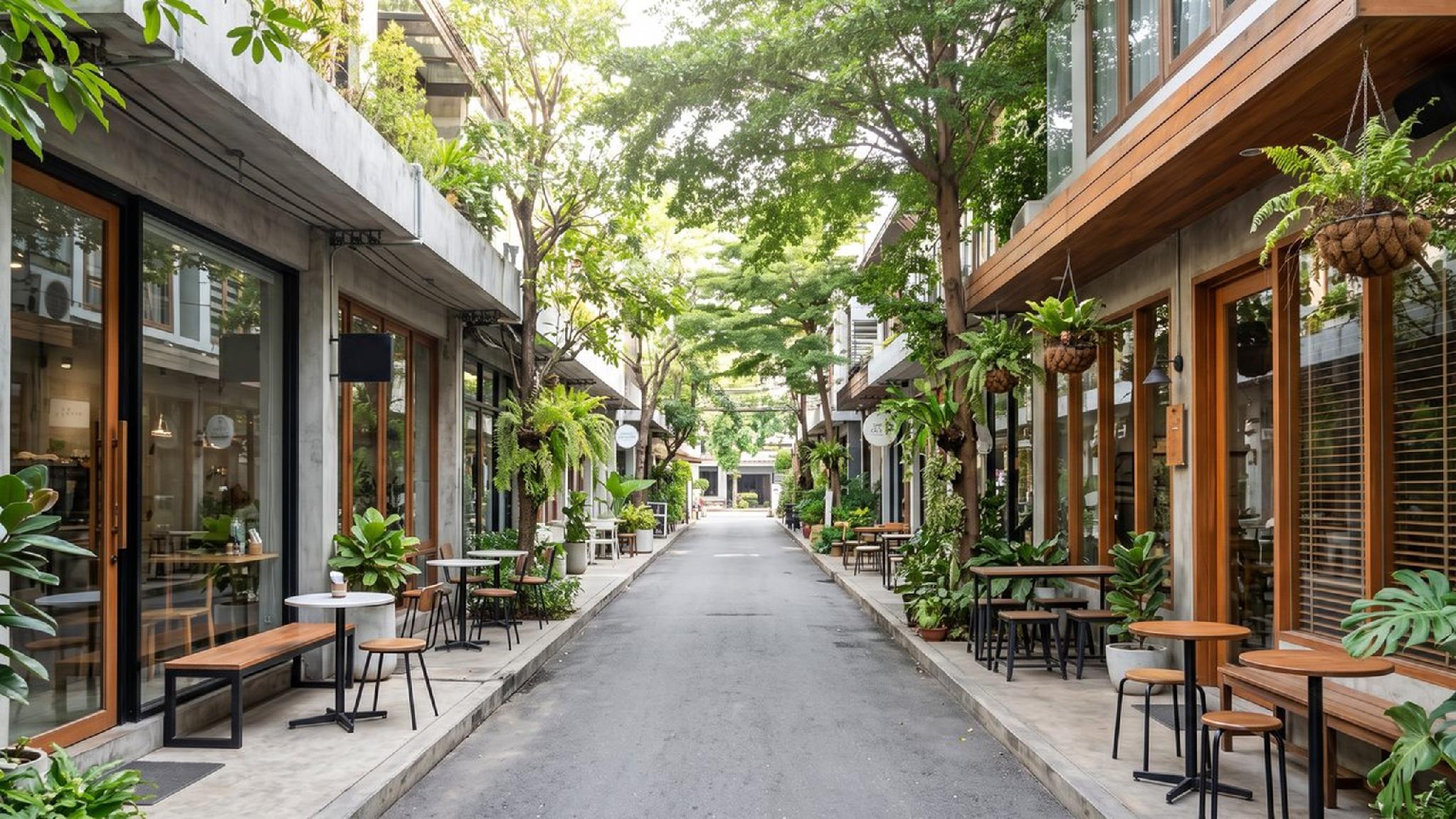
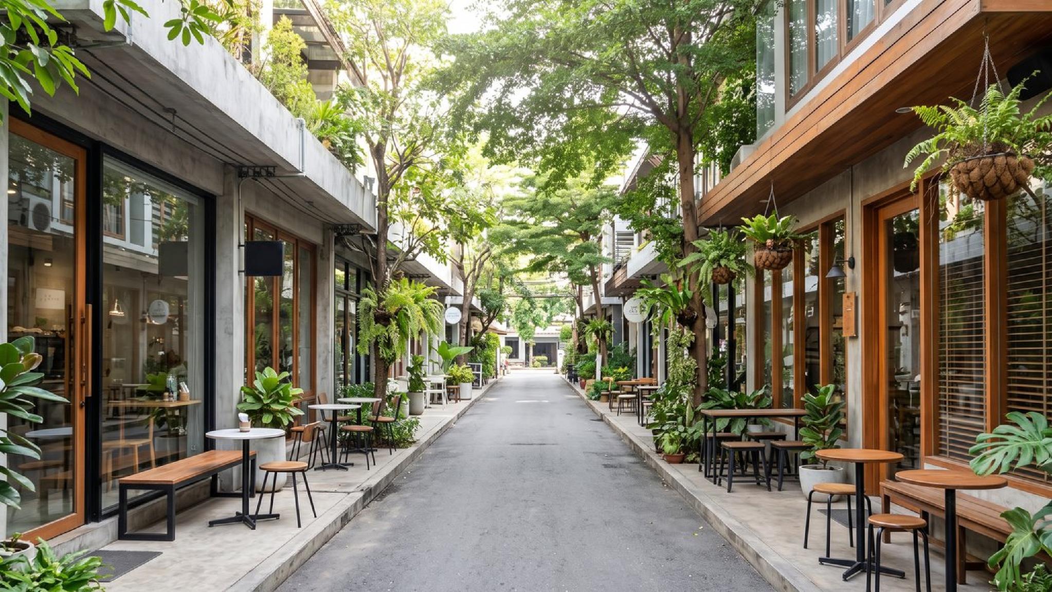
A digital nomad or a traveller staying two weeks or longer usually gravitates toward Nimman, where fast wifi, a dense cluster of cafes built for working, and a younger crowd make the neighbourhood feel more like a base for daily life than a tourist stop. Santitham, just north of Nimman, suits the same kind of stay at a noticeably lower cost, useful for anyone prioritising value over walking distance to the trendiest cafes.
,regionOfInterest=(1023,575.5))
,regionOfInterest=(1023,575.5))
A traveller splitting a longer trip across two bases, a few nights in the Old City followed by a few more in Nimman or along the riverside, gets a genuinely different read on the city between the two halves without adding much complexity, since nothing on a Chiang Mai map sits more than a short ride from anywhere else.
This kind of split works especially well on a trip of a week or longer, where the temple-heavy pace of the Old City and the cafe-driven pace of Nimman otherwise compete for the same days.
Families travelling with young children tend to do better in Chang Khlan than inside the Old City itself, since the larger hotels in this part of town more often have a pool, a kids' club, and rooms sized for a family rather than the smaller footprint typical of an Old City guesthouse. Proximity to the airport also matters more with young kids in tow, shaving a few minutes off both ends of what can otherwise be a long travel day.
,regionOfInterest=(1023,575.5))
,regionOfInterest=(1023,575.5))
Distances between these areas run shorter than most first-time visitors expect once actually on the ground, even though a Chiang Mai map can make the city look sprawling at first glance. Here is roughly how long it takes to move between the main areas.
|
Route |
Distance |
Typical Time by Car |
|
Old City to Chang Khlan / Night Bazaar |
About 1.5 to 2 km |
5 to 10 minutes |
|
Old City to Nimman |
About 2 to 3 km |
10 minutes |
|
Chang Khlan to Nimman |
About 3 to 4 km |
10 to 15 minutes |
|
Airport to Chang Khlan / Riverside |
About 6 km |
15 minutes |
|
Airport to Old City |
About 4 km |
10 to 15 minutes |
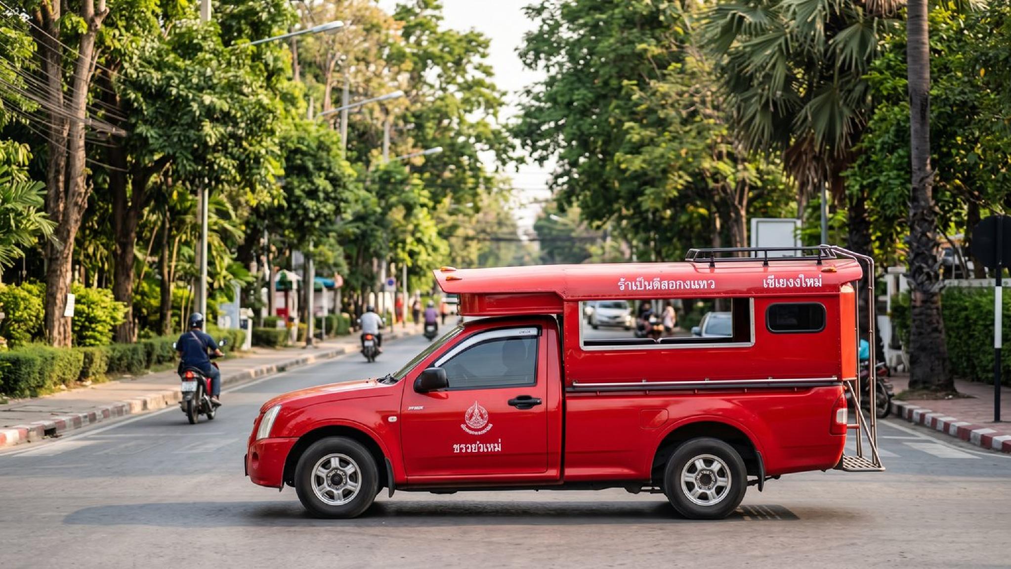
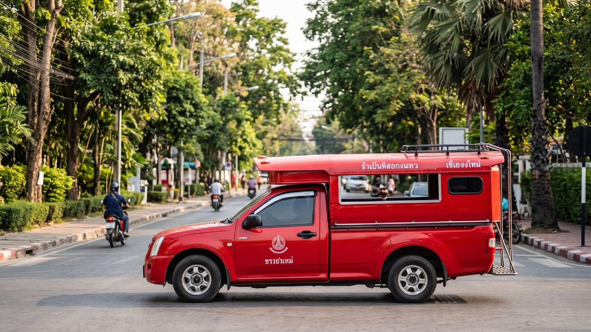
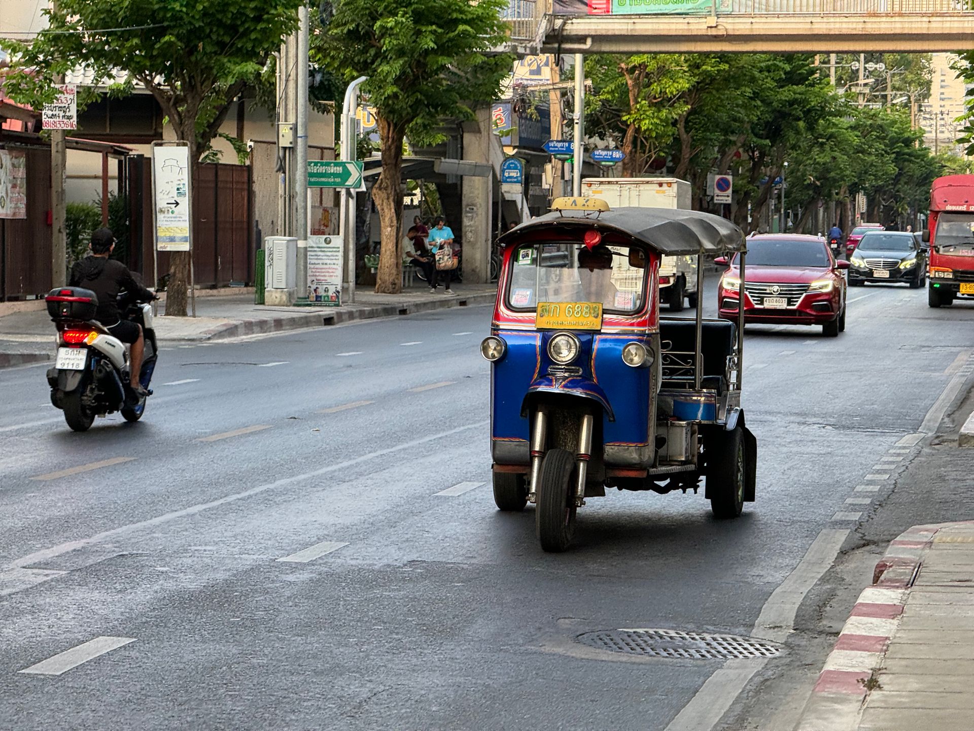
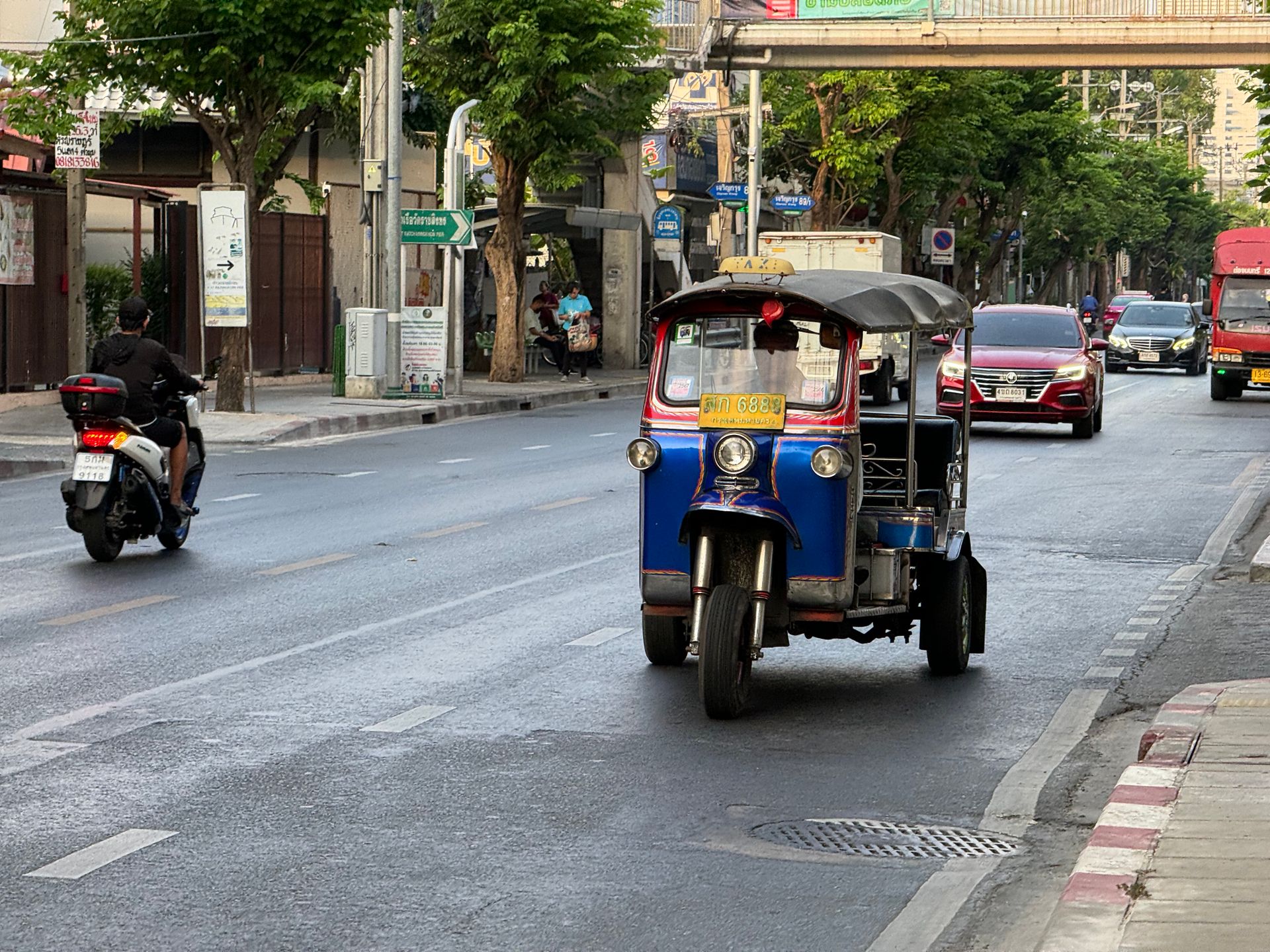
Grab and Bolt cover any of these routes at a fixed, upfront fare, and a shared songthaew works for a shorter hop at a lower cost. The Old City itself is compact enough to cross entirely on foot in under 30 minutes, which is why most temple-focused days in this part of the city need no transport at all once arrived.
A rented scooter changes the calculation considerably for anyone planning several trips out to Bo Sang, San Kamphaeng, or the base of Doi Suthep, since it removes the wait time a ride-hailing app sometimes adds during a busy evening.
Chiang Mai's compact scale means a scooter rarely needs more than 20 to 30 minutes to reach almost anywhere marked on a typical Chiang Mai map, the mountain road up to Doi Suthep and the longer trip to Doi Inthanon being the two notable exceptions worth leaving to a private driver instead of a self-driven scooter.
Walking still covers more ground than most visitors expect within any single area. The distance across the Old City, gate to opposite gate, runs about 1.6 kilometres, comfortably walkable in 20 minutes, and Nimman's own main strip along Nimmanhaemin Road covers a similar distance end to end, meaning neither area genuinely requires transport once a visitor is actually inside it and settled into the pace of that particular neighbourhood.
,regionOfInterest=(960,720))
,regionOfInterest=(960,720))
A signal-free map matters more in Chiang Mai than in a denser Western city, since a scooter ride out to Doi Suthep or a craft village can genuinely lose signal for stretches along the way. A few options cover this well before a trip even starts.
Downloading an offline map the night before a day trip, rather than relying on a hotel wifi connection that only works from the room, avoids the specific scenario of losing navigation halfway up a mountain road with no way to reload it.
Saving a handful of key pins ahead of time, the hotel itself, the Old City's main gates, and any restaurant or attraction already planned for the trip, makes an offline map considerably more useful than downloading the area alone and hoping to remember every name once on the ground. Most ride-hailing apps also work partially offline once a destination is already saved, though requesting a ride itself still needs a live connection.
,regionOfInterest=(512,288))
,regionOfInterest=(512,288))
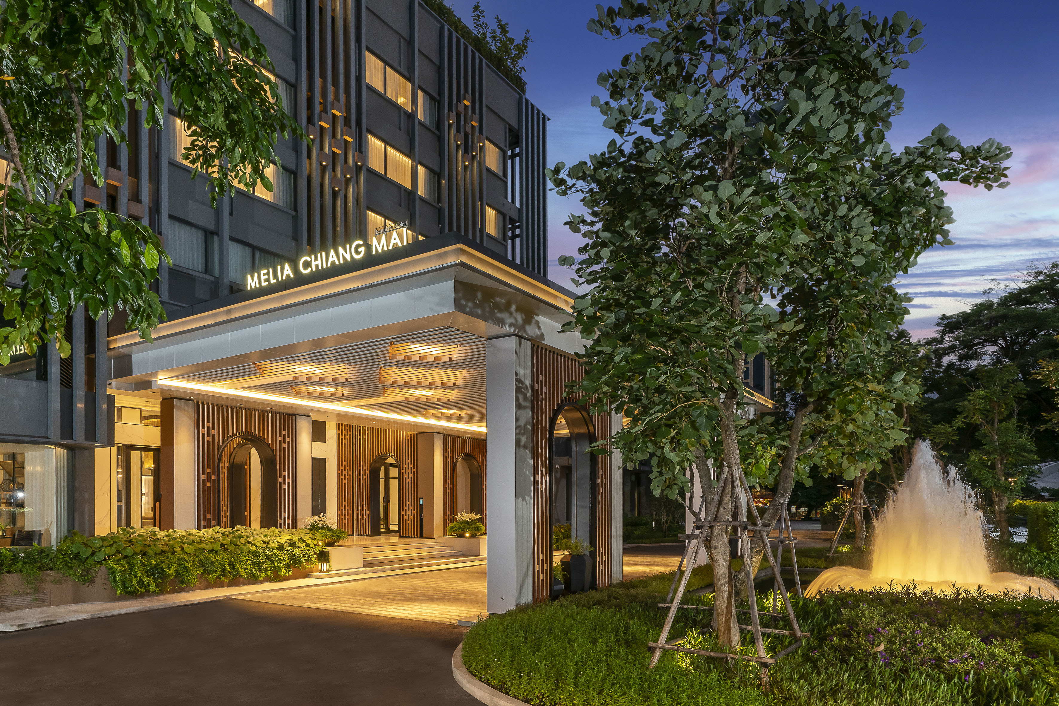
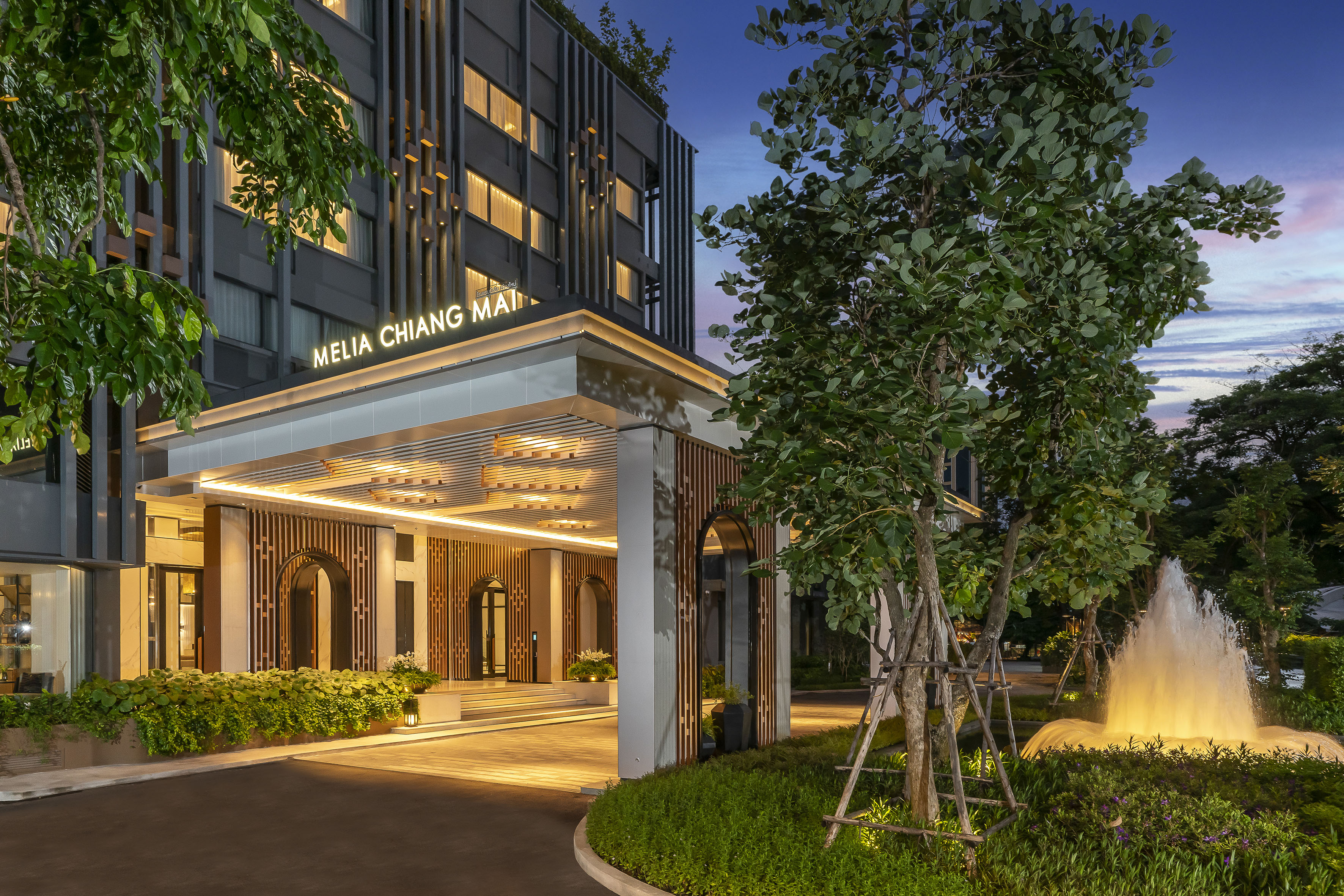
Meliá Chiang Mai sits on Charoen Prathet Road in the Chang Khlan district, close enough to the Chiang Mai Night Bazaar to reach on foot within a few minutes and directly along the Ping River, with views over the water and Doi Suthep both visible from the upper floors.
On a Chiang Mai map, that puts the hotel roughly midway between the airport to the south and the Old City's temples to the northwest, a well-placed base relative to all three rather than the literal geographic centre of the city.
The Old City sits about 1.5 kilometres away, an easy ride-hailing trip or a walkable stretch for anyone happy to cover it on foot, while the airport is about 6 kilometres and roughly 15 minutes by car from the hotel itself — slightly farther than the roughly 4-kilometre airport-to-Old-City figure noted earlier, since the two distances are measured from different points on the map — short enough that neither arrival nor a temple day adds meaningful travel time to a stay here.
For anyone plotting this hotel against the neighbourhood comparison earlier in this guide, it sits inside Chang Khlan proper, the same zone recommended for a more social, dining-and-market-driven trip, on the western bank of the Ping River rather than the quieter Wat Ket side across the water, while still keeping the Old City and Nimman both within a short, predictable ride rather than a genuine cross-town trip.
The Level's upper floors add a further layer to this positioning: west-facing rooms look out toward Doi Suthep and the sunset, while east-facing units pick up the Ping River and the morning light instead, a small detail worth choosing between depending on which direction of the map matters more for a specific stay.
MAI The Sky Bar, on the 22nd floor, effectively turns this positioning into a view: the Old City's temples, the Ping River winding past below, and Doi Suthep in the distance are all visible from the same terrace on a clear evening, a genuinely useful way to see the whole layout described earlier in this guide at once rather than piecing it together from a phone screen. Guests who have already spent a day out at Doi Suthep or the craft villages often recognise their own route home laid out below from up here.
For anyone arriving directly from the airport, the short 6-kilometre transfer means the hotel's own position on the map translates into a genuinely quick trip from touchdown to check-in, one less thing to plan around after a flight or a long overland journey into the city, whichever way that journey happened to start.
None of this requires memorising the whole city's layout before arriving. Between the hotel's own position and the neighbourhood map covered above, most of what a first-time visitor needs to orient a trip around Chiang Mai comes down to knowing which of the three key areas, the moat, Chang Khlan, or Nimman, a given day's plans actually fall into.
,regionOfInterest=(1771.5,1181.5))
,regionOfInterest=(1771.5,1181.5))
A Chiang Mai map really comes down to four reference points once the basic shape clicks: the Old City's square moat for temples, Chang Khlan and the riverside for markets and a central base, Nimman for cafes and a slower, modern pace, and everything else as a day trip out from the centre.
Downloading an offline map before setting out, and choosing a base area that matches the trip's actual travel style rather than whichever neighbourhood looks busiest online, does more to make a Chiang Mai trip feel easy than any single attraction on the list. None of the areas covered here sit more than a short ride from another, so getting this one decision right matters less for reachability than it does for the daily atmosphere a stay actually ends up having.
,regionOfInterest=(960,720))
,regionOfInterest=(960,720))
What are the main areas of Chiang Mai?
The Old City, enclosed by its square moat, holds most of the historic temples. Chang Khlan, east of the moat, covers the Night Bazaar and the newer hotels, and Riverside (Wat Ket), across the Ping River from Chang Khlan, offers a quieter, more local alternative.
Nimmanhaemin, west of the moat, runs the city's cafe and boutique-shop scene, and Santitham, north of Nimman, offers similar convenience at a lower cost. Understanding roughly where each sits relative to the moat is generally enough to navigate the rest of a trip without constantly checking directions.
Where is the best area to stay in Chiang Mai?
It depends on travel style rather than one universal answer. The Old City suits temple-focused, walkable trips, Chang Khlan and the riverside suit travellers who want central dining and nightlife close to the airport, and Nimman suits longer stays built around cafes and a slower, modern pace. Santitham works well for a longer, quieter stay at a lower cost than the more central areas.
How do I get an offline map of Chiang Mai?
MAPS.ME offers free, fully offline navigation built on OpenStreetMap data, and Google Maps lets you download an offline area in advance for offline driving directions. Downloading either the night before a day trip out of the city avoids losing navigation in an area with weak signal, and saving key pins in advance makes either app considerably more useful once actually on the road.
Is Chiang Mai walkable for tourists?
The Old City itself is highly walkable, compact enough to cross in under 30 minutes with most major temples inside its moat. Reaching Nimman, Chang Khlan, or attractions further out generally needs a short ride-hailing trip or a songthaew rather than a walk, though none of these routes run more than about 15 minutes by car, which keeps the whole city feeling connected rather than spread out.
,regionOfInterest=(2880,1920))
,regionOfInterest=(2880,1920))
,regionOfInterest=(1619.5,1121))
,regionOfInterest=(1619.5,1121))
,regionOfInterest=(1476.5,634.5))
,regionOfInterest=(1476.5,634.5))
,regionOfInterest=(2273,1523))
,regionOfInterest=(2273,1523))
,regionOfInterest=(1564,1200))
,regionOfInterest=(1564,1200))